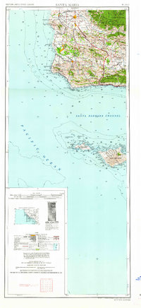
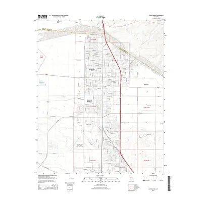
1958 Map of Santa Maria
USGS Topo · Published 1958About this map
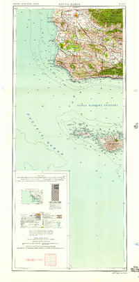
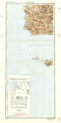
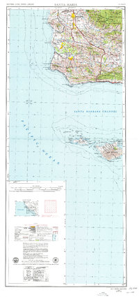
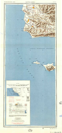
The Santa Maria Valley and the rugged central California coast are documented here during the late 1950s, a period of transition for the region’s landscape. The map centers on the agricultural hub of Santa Maria and the oil-producing areas around Orcutt, while highlighting the massive footprint of the Camp Cooke Military Reservation along the Pacific. This coastal stretch includes critical maritime landmarks like Point Conception and Point Arguello, marking the shift from the north-south coastline to the east-west orientation of the Santa Barbara Channel. To the south, the offshore terrain of San Miguel Island and Santa Rosa Island is shown with detailed coastal features including Cuyler Harbor and Bechers Bay. Inland, the Southern Pacific rail line threads through smaller settlements like Betteravia and Waldorf, while the San Rafael Mountains and Los Padres National Forest dominate the eastern topography.
Find a feature on this map
68 named features on this map. Tap any name to fly to it.
Don’t see what you’re looking for? This feature index may not catch every label — zoom into the map to look around manually.
Map Details
Editions of this 1958 Santa Maria Map
This is the sole edition of this map. No revisions or reprints were ever made.
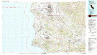
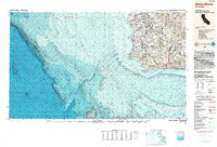
Historical Maps of Santa Maria Through Time
15 maps found
1942 Santa Maria
Santa Barbara County, CA
1947 Santa Maria
Santa Barbara County, CA
1948 Santa Maria
Santa Barbara County, CA
1956 Santa Maria
Santa Barbara County, CA
1957 Santa Maria
Santa Barbara County, CA
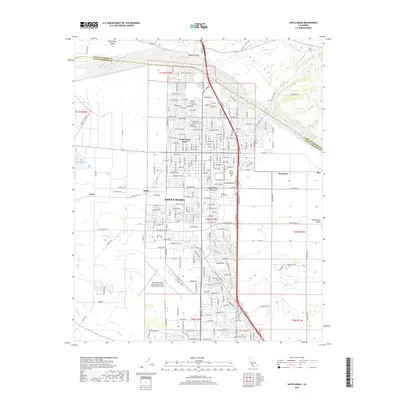
1958 Santa Maria
Santa Barbara County, CA
1959 Santa Maria
Santa Barbara County, CA
1959 Santa Maria
Santa Barbara County, CA
1962 Santa Maria
Santa Barbara County, CA
1982 Santa Maria
Santa Barbara County, CA
1989 Santa Maria
Santa Barbara County, CA
2012 Santa Maria
Santa Barbara County, CA
2015 Santa Maria
Santa Barbara County, CA
2018 Santa Maria
Santa Barbara County, CA
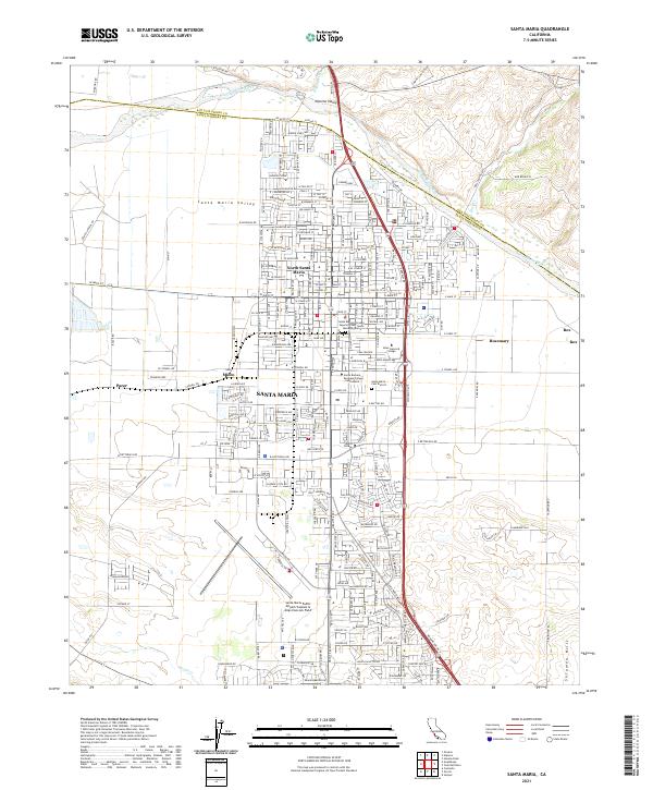
2021 Santa Maria
Santa Barbara County, CA