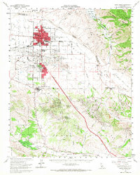
1959 Map of Santa Maria
USGS Topo · Published 1968About this map
The Santa Maria valley emerges as a significant industrial and agricultural hub in this late-1950s survey, defined by the expansion of the Santa Maria Oil Field and Orcutt Oil Field. The cityscape is dense with civic infrastructure, from Allen Hancock College to the Santa Maria Union High School, while the Santa Maria Valley Railroad and Southern Pacific RR facilitate the movement of goods through the valley floor. To the east, the Santa Maria River and Sisquoc River meet near the Sierra Madre Mountains, where the newly established Twitchell Reservoir highlights mid-century water management efforts. The southern portion of the map transitions into the rolling Purisima Hills and the edge of Vandenberg Air Force Base, reflecting the region's importance to both energy production and national defense.
Find a feature on this map
76 named features on this map. Tap any name to fly to it.
Don’t see what you’re looking for? This feature index may not catch every label — zoom into the map to look around manually.
Map Details
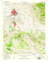
Editions of this 1959 Santa Maria Map
2 editions found
Other maps of this area

1897 · Arroyo Grande
USGS Topo · 1:62,500

1900 · San Luis
USGS Topo · 1:125,000

1905 · Guadalupe
USGS Topo · 1:125,000

1905 · Lompoc
USGS Topo · 1:125,000

1922 · Nipomo
USGS Topo · 1:62,500

1937 · Branch Mtn
USGS Topo · 1:48,000

1942 · Point Arguello
USGS Topo · 1:62,500

1942 · Guadalupe
USGS Topo · 1:125,000

1942 · Lompoc
USGS Topo · 1:125,000

1942 · Lompoc
USGS Topo · 1:62,500