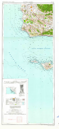
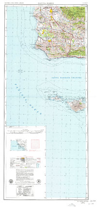
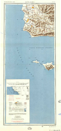
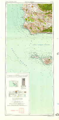
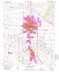
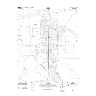
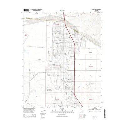
1962 Map of Santa Maria
USGS Topo · Published 1962About this map
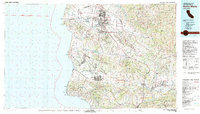
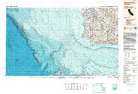
The coastal shelf of northern Santa Barbara County is dominated by the sprawling presence of Vandenberg Air Force Base and the U S Naval Missile Facility, reflecting the Cold War expansion of the California Central Coast. This 1962 edition illustrates a landscape transitioning from traditional agriculture and ranching toward strategic military utility. The Southern Pacific railroad hugs the shoreline, winding past isolated points like Point Arguello and Point Conception before turning inland through Lompoc. Inland, the valley floors are dotted with established agricultural centers such as Santa Maria, Guadalupe, and the Danish-founded community of Solvang. The map also details the offshore geography of the Santa Barbara Channel, providing extensive topographic and maritime data for San Miguel Island and Santa Rosa Island, including named points like Point Bennett and Beechers Bay.
Find a feature on this map
98 named features on this map. Tap any name to fly to it.
Don’t see what you’re looking for? This feature index may not catch every label — zoom into the map to look around manually.
Map Details
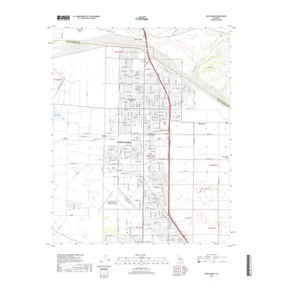
Editions of this 1962 Santa Maria Map
This is the sole edition of this map. No revisions or reprints were ever made.
Historical Maps of Santa Maria Through Time
15 maps found
1942 Santa Maria
Santa Barbara County, CA
1947 Santa Maria
Santa Barbara County, CA
1948 Santa Maria
Santa Barbara County, CA
1956 Santa Maria
Santa Barbara County, CA
1957 Santa Maria
Santa Barbara County, CA
1958 Santa Maria
Santa Barbara County, CA
1959 Santa Maria
Santa Barbara County, CA
1959 Santa Maria
Santa Barbara County, CA
1962 Santa Maria
Santa Barbara County, CA
1982 Santa Maria
Santa Barbara County, CA
1989 Santa Maria
Santa Barbara County, CA
2012 Santa Maria
Santa Barbara County, CA
2015 Santa Maria
Santa Barbara County, CA
2018 Santa Maria
Santa Barbara County, CA
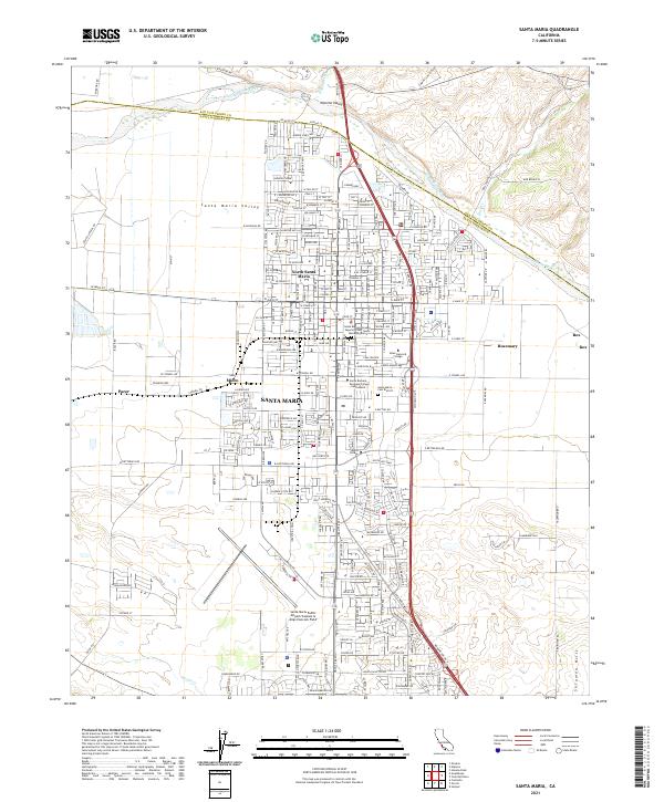
2021 Santa Maria
Santa Barbara County, CA