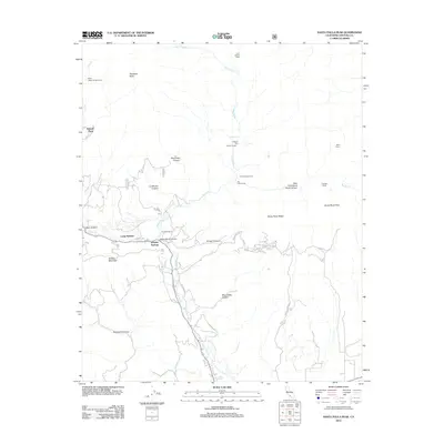
2012 Map of Santa Paula Peak
USGS Topo · Published 2012About this map
Santa Paula Peak and the high ridges of the Los Padres National Forest dominate this 2012 survey, where the drainages of Santa Paula Cr and Sisar Cr carve through deep canyons. Along the southern edge of the mountains, the map records long-standing rural holdings like the Ferndale Ranch and the Howell Place, reflecting the agricultural and residential roots of the Ventura County backcountry. The terrain is marked by recreation sites including Camp Bartlett, White Ledge Campground, and the remote Jackson Hole Jackson Camp. Prominent geological features such as Sulphur Mountain and Topatopa Bluff overlook a landscape of deep ravines like Anlauf Canyon and Mud Creek Canyon. This edition shows the transition between private ranch lands and the steep, protected wilderness of Santa Paula Ridge, intersected by early routes like Orcutt Canyon Rd and Pine Grove Rd.
Find a feature on this map
32 named features on this map. Tap any name to fly to it.
Don’t see what you’re looking for? This feature index may not catch every label — zoom into the map to look around manually.
Map Details
Editions of this 2012 Santa Paula Peak Map
This is the sole edition of this map. No revisions or reprints were ever made.
Other maps of this area

1900 · Piru
USGS Topo · 1:62,500

1903 · Santa Paula
USGS Topo · 1:62,500

1903 · Mt. Pinos
USGS Topo · 1:125,000

1903 · Tejon
USGS Topo · 1:125,000

1903 · Camulos
USGS Topo · 1:125,000

1921 · Piru
USGS Topo · 1:62,500

1941 · Piru
USGS Topo · 1:62,500

1942 · Santa Paula
USGS Topo · 1:62,500

1943 · Topatopa Mountains
USGS Topo · 1:24,000

1943 · Lion Canyon
USGS Topo · 1:24,000