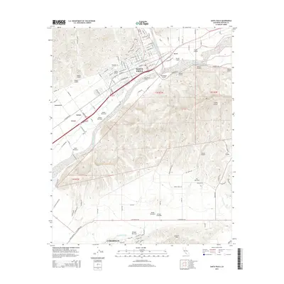
2015 Map of Santa Paula
USGS Topo · Published 2015About this map
The city of Santa Paula sits at the foot of the Topatopa Mountains, where the deep drainages of Adams Canyon and Fagan Canyon meet the fertile valley floor. In the mid-2010s, this area remained a vital agricultural hub, evidenced by the large orchard and packing facilities around Limoneira and Haines. The Santa Clara River bisects the landscape, creating a broad alluvial corridor between the urban center and the rising slopes of S Mtn to the south.
Find a feature on this map
127 named features on this map. Tap any name to fly to it.
Don’t see what you’re looking for? This feature index may not catch every label — zoom into the map to look around manually.
Map Details
Editions of this 2015 Santa Paula Map
This is the sole edition of this map. No revisions or reprints were ever made.
Other maps of this area

1900 · Triunfo Pass
USGS Topo · 1:62,500

1900 · Piru
USGS Topo · 1:62,500

1903 · Santa Paula
USGS Topo · 1:62,500

1903 · Camulos
USGS Topo · 1:125,000

1904 · Hueneme
USGS Topo · 1:62,500

1921 · Piru
USGS Topo · 1:62,500

1921 · Triunfo Pass
USGS Topo · 1:62,500

1941 · Piru
USGS Topo · 1:62,500

1942 · Santa Paula
USGS Topo · 1:62,500

1942 · Hueneme
USGS Topo · 1:62,500