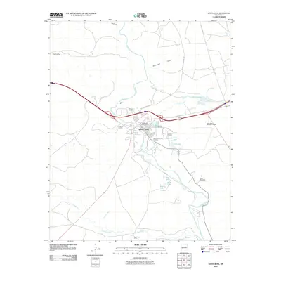
2010 Map of Santa Rosa
USGS Topo · Published 2010About this map
The Pecos River carves a path through this high-plains landscape, where the town of Santa Rosa serves as a regional crossroads for both water and road travel. This era of the town is defined by the legacy of the mother road, with Historic Route 66 and the Joe A Page Memorial Hwy funneling traffic through a corridor rich in local history. For genealogists, the map is remarkably dense with burial sites, showing the Saint Rose of Lima Cemetery, Evergreen Cemetery, La Morada Cemetery, and San Jose Cemetery clustered around the settlement.
Find a feature on this map
36 named features on this map. Tap any name to fly to it.
Don’t see what you’re looking for? This feature index may not catch every label — zoom into the map to look around manually.
Map Details
Editions of this 2010 Santa Rosa Map
This is the sole edition of this map. No revisions or reprints were ever made.
Other maps of this area

1892 · Corazon
USGS Topo · 1:125,000

1894 · Corazon
USGS Topo · 1:125,000

1954 · Santa Fe
USGS Topo · 1:250,000

1954 · Fort Sumner
USGS Topo · 1:250,000

1958 · Fort Sumner
USGS Topo · 1:250,000

1958 · Santa Fe
USGS Topo · 1:250,000

1963 · Colonias
USGS Topo · 1:24,000

1963 · Santa Rosa
USGS Topo · 1:24,000

1963 · Puerto Creek
USGS Topo · 1:24,000

1963 · Sunshine Mesa
USGS Topo · 1:24,000