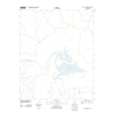
2011 Map of Santa Rosa Lake
USGS Topo · Published 2011About this map
Santa Rosa Lake dominates the central landscape of this quadrangle, formed by the impoundment of the Pecos River at the Santa Rosa Dam. The shoreline of this reservoir creates a complex of inlets and bays, most notably where Esteros Creek feeds into the main body of water. The surrounding terrain is defined by ranching activity and natural water sources, with scattered landmarks such as Rock Hole Spring, Bogey Well, and the Bar Y Tank providing vital resources in this arid environment.
Find a feature on this map
17 named features on this map. Tap any name to fly to it.
Don’t see what you’re looking for? This feature index may not catch every label — zoom into the map to look around manually.
Map Details
Editions of this 2011 Santa Rosa Lake Map
This is the sole edition of this map. No revisions or reprints were ever made.
Other maps of this area

1892 · Corazon
USGS Topo · 1:125,000

1894 · Corazon
USGS Topo · 1:125,000

1954 · Santa Fe
USGS Topo · 1:250,000

1954 · Fort Sumner
USGS Topo · 1:250,000

1958 · Fort Sumner
USGS Topo · 1:250,000

1958 · Santa Fe
USGS Topo · 1:250,000

1963 · Colonias
USGS Topo · 1:24,000

1963 · Santa Rosa
USGS Topo · 1:24,000

1963 · Sunshine Mesa
USGS Topo · 1:24,000

1963 · Mesa Cherisco
USGS Topo · 1:24,000