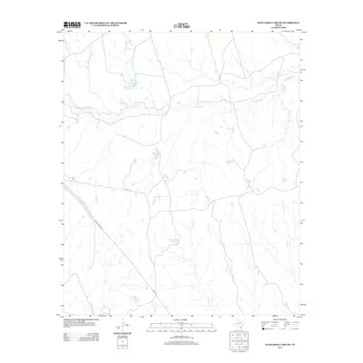
2013 Map of Santa Rosa Lake SW
USGS Topo · Published 2013About this map
Waggoner Ranch land and water resources define this landscape in Knox County, centered around the sprawling cattle operation and its managed water systems like Lake Number 8. The terrain is etched by several drainage systems, most notably S Beaver Cr and Crooked Cr, which cut through the north-central Texas plains toward the N Wichita River at the map's southern edge. Transportation across this ranching country is provided by the corridor of Ranch Road 1919, also labeled as Fm 1919. The map reveals the intricate network of seasonal waterways like Rose Hollow Cr and Fish Cr, illustrating how the landscape is managed for livestock and water conservation in a region where every creek and catchment is vital to the local economy.
Find a feature on this map
9 named features on this map. Tap any name to fly to it.
Don’t see what you’re looking for? This feature index may not catch every label — zoom into the map to look around manually.
Map Details
Editions of this 2013 Santa Rosa Lake SW Map
This is the sole edition of this map. No revisions or reprints were ever made.
Other maps of this area

1954 · Wichita Falls
USGS Topo · 1:250,000

1958 · Wichita Falls
USGS Topo · 1:250,000

1966 · Santa Rosa Lake
USGS Topo · 1:24,000

1966 · Santa Rosa Lake SW
USGS Topo · 1:24,000

1966 · Soap Creek
USGS Topo · 1:24,000

1966 · Colwell Creek
USGS Topo · 1:24,000

1966 · Vera
USGS Topo · 1:24,000

1966 · Northwest Lake Kemp
USGS Topo · 1:24,000

1966 · Southwest Lake Kemp
USGS Topo · 1:24,000

1966 · Thalia
USGS Topo · 1:24,000