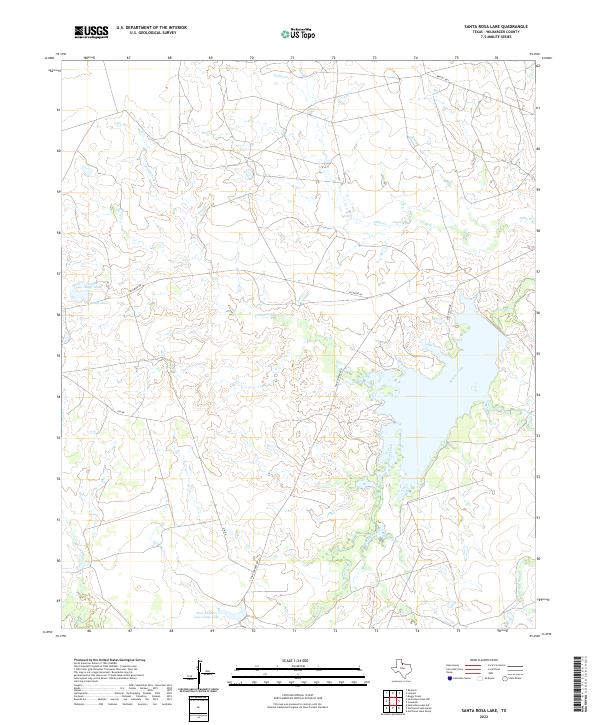
2022 Map of Santa Rosa Lake
USGS Topo · Published 2022About this map
Beaver Creek and its many meandering tributaries define the geography of this North Texas landscape in Wilbarger County. The water-rich terrain is marked by numerous tanks and basins, including D Camp Lake and the notably named Four Corners Cow Camp Lake. This 2022 survey illustrates a pastoral infrastructure where named routes like Gin Rd and Elevator Rd hint at the agricultural foundations of the region. The map tracks the intricate drainage patterns of Lillus Cr, Commanche Cr, and Mud Creek, showing how these waterways navigate the low-relief plains. Local travel is facilitated by a network of rural roads such as Santa Rosa Dr and Four Corners Rd, which connect the scattered ranching and farming interests across the quadrangle.
Find a feature on this map
14 named features on this map. Tap any name to fly to it.
Don’t see what you’re looking for? This feature index may not catch every label — zoom into the map to look around manually.
Map Details
Editions of this 2022 Santa Rosa Lake Map
This is the sole edition of this map. No revisions or reprints were ever made.
Other maps of this area

1954 · Wichita Falls
USGS Topo · 1:250,000

1955 · Lawton
USGS Topo · 1:250,000

1958 · Wichita Falls
USGS Topo · 1:250,000

1958 · Davidson
USGS Topo · 1:62,500

1958 · Vernon
USGS Topo · 1:62,500

1966 · Santa Rosa Lake
USGS Topo · 1:24,000

1966 · Santa Rosa Lake SW
USGS Topo · 1:24,000

1966 · Grayback
USGS Topo · 1:24,000

1966 · Northeast Lake Kemp
USGS Topo · 1:24,000

1966 · Northwest Lake Kemp
USGS Topo · 1:24,000