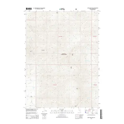
2015 Map of Santa Rosa Peak
USGS Topo · Published 2015About this map
Santa Rosa Peak and the high summits of the Santa Rosa Range dominate this 2015 study of the northern Nevada interior. The landscape is defined by the steep transition from the Quinn River Valley floor up into the protected lands of the Humboldt National Forest. Seasonal and perennial drainages like Rebel Cr, Rock Cr, and McConnell Cr cut deeply through the mountain flanks, tracing paths from the peaks toward the alluvial fans below. The area around Orovada and the looming profile of Sawtooth Mtn provide essential landmarks for navigating this high-altitude environment.
Find a feature on this map
27 named features on this map. Tap any name to fly to it.
Don’t see what you’re looking for? This feature index may not catch every label — zoom into the map to look around manually.
Map Details
Editions of this 2015 Santa Rosa Peak Map
This is the sole edition of this map. No revisions or reprints were ever made.
Other maps of this area

1882 · Paradise
USGS Topo · 1:250,000

1893 · Paradise
USGS Topo · 1:250,000

1955 · McDermitt
USGS Topo · 1:250,000

1958 · Paradise Valley
USGS Topo · 1:62,500

1958 · Awakening Peak
USGS Topo · 1:62,500

1959 · McDermitt
USGS Topo · 1:250,000

1959 · Orovada
USGS Topo · 1:62,500

1959 · Hinkey Summit
USGS Topo · 1:62,500
1982 · Andorno Ranch
USGS Topo · 1:24,000
1985 · Osgood Mts
USGS Topo · 1:100,000