
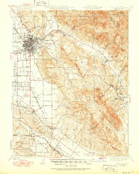
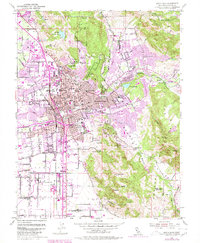
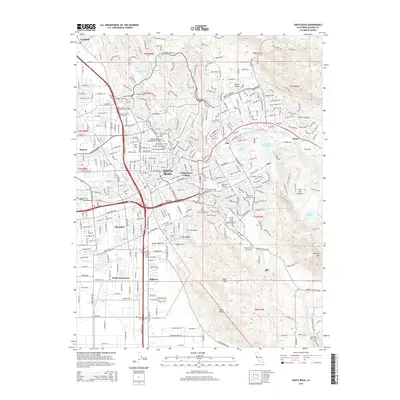
1962 Map of Santa Rosa
USGS Topo · Published 1962About this map
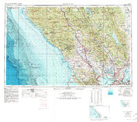
The Northwestern Pacific RR corridor serves as the backbone of settlement in the early 1960s, threading through the Cotati Valley and connecting hubs like Santa Rosa and Petaluma. This era is defined by a landscape transitioning from the rugged coastal reaches of the Pacific Ocean to the established agricultural and industrial zones of the North Bay. Along the southern edge, the strategic importance of San Pablo Bay is evident through significant military and maritime installations including the Mare Island Naval Shipyard and Hamilton Field.
Find a feature on this map
237 named features on this map. Tap any name to fly to it.
Don’t see what you’re looking for? This feature index may not catch every label — zoom into the map to look around manually.
Map Details
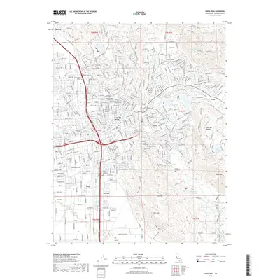
Editions of this 1962 Santa Rosa Map
This is the sole edition of this map. No revisions or reprints were ever made.
Historical Maps of Santa Rosa Through Time
14 maps found
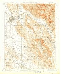
1916 Santa Rosa
Sonoma County, CA
1944 Santa Rosa
Sonoma County, CA

1947 Santa Rosa
Sonoma County, CA
1949 Santa Rosa
Sonoma County, CA
1954 Santa Rosa
Sonoma County, CA
1954 Santa Rosa
Sonoma County, CA
1958 Santa Rosa
Sonoma County, CA
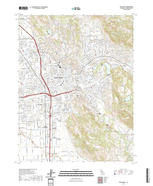
1962 Santa Rosa
Sonoma County, CA

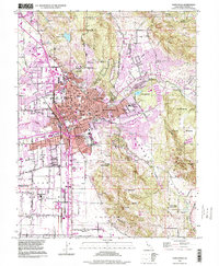
1964 Santa Rosa
Sonoma County, CA
1994 Santa Rosa
Sonoma County, CA
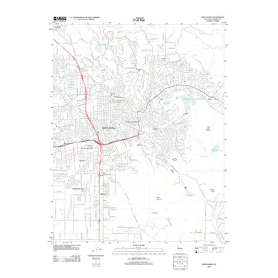
2012 Santa Rosa
Sonoma County, CA
2015 Santa Rosa
Sonoma County, CA
2018 Santa Rosa
Sonoma County, CA
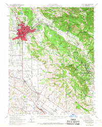
2021 Santa Rosa
Sonoma County, CA