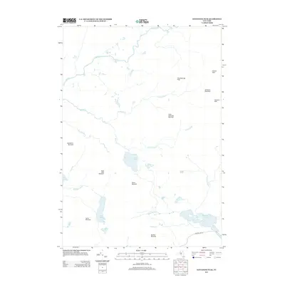
2013 Map of Santanoni Peak
USGS Topo · Published 2013About this map
Santanoni Peak and the high summits of the Santanoni Mountains dominate this high-elevation landscape in the early 21st century. The terrain is defined by a dense network of drainage systems, including the westward-flowing Cold River and numerous high-altitude basins like Moose Pond and Newcomb Lake. The area reflects a primitive state of development, with human infrastructure largely limited to the periphery, such as Newcomb Lake Rd in the southeast.
Find a feature on this map
28 named features on this map. Tap any name to fly to it.
Don’t see what you’re looking for? This feature index may not catch every label — zoom into the map to look around manually.
Map Details
Editions of this 2013 Santanoni Peak Map
This is the sole edition of this map. No revisions or reprints were ever made.
Other maps of this area

1898 · Newcomb
USGS Topo · 1:62,500

1901 · Newcomb
USGS Topo · 1:62,500

1903 · Blue Mountain
USGS Topo · 1:62,500

1904 · Santanoni
USGS Topo · 1:62,500

1904 · Long Lake
USGS Topo · 1:62,500

1948 · Ogdensburg
USGS Topo · 1:250,000

1950 · Utica
USGS Topo · 1:250,000

1951 · Ogdensburg
USGS Topo · 1:250,000

1953 · Ogdensburg
USGS Topo · 1:250,000

1953 · Santanoni
USGS Topo · 1:62,500