
1942 Map of Santee Point
USGS Topo · Published 1962About this map
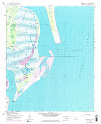
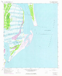
Cat Island and North Island flank the strategically significant Winyah Bay Entrance in this 1942 survey of coastal South Carolina. The intricate marshlands of the South Island interior are dissected by a complex network of waterways, including Mosquito Creek, Duck Creek, and Harmon Creek. Of particular interest to historians is the Quarantine station located along the western shore of Winyah Bay and the presence of Cat Island Plantation, representing the area's agricultural and maritime legacy. The map reveals the early engineering of the harbor with the North Jetty and South Jetty extending into the Atlantic Ocean. Low-lying terrain features like Pine Ridge and Sand Dunes define the barrier landscape, while tidal basins such as Wheeler Basin and Sand Creek Basin illustrate the fluid nature of the Georgetown County coastline before mid-century development.
Find a feature on this map
29 named features on this map. Tap any name to fly to it.
Don’t see what you’re looking for? This feature index may not catch every label — zoom into the map to look around manually.
Map Details
Editions of this 1942 Santee Point Map
3 editions found
Other maps of this area

1942 · Cape Romain
USGS Topo · 1:24,000

1942 · North Island
USGS Topo · 1:24,000

1943 · Minim Island
USGS Topo · 1:24,000

1943 · Georgetown South
USGS Topo · 1:24,000

1947 · Georgetown South
USGS Topo · 1:24,000

1949 · Georgetown
USGS Topo · 1:250,000

1967 · Georgetown
USGS Topo · 1:250,000
1968 · Georgetown South
USGS Topo · 1:24,000

1974 · Georgetown
USGS Topo · 1:250,000

1986 · Georgetown
USGS Topo · 1:100,000