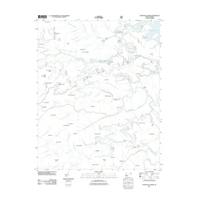
2011 Map of Santeetlah Creek
USGS Topo · Published 2011About this map
Santeetlah Lake and its intricate northern coves provide the eastern boundary for this terrain-dense area within the Nantahala National Forest. The landscape is defined by its deep gaps and named ridges, including Horse Cove Ridge and Burntrock Ridge, which separate the many branches of Santeetlah Creek and Snowbird Creek. Small mountain communities such as Junction and McGuires are linked by primitive forest routes like Old Santeetlah Rd and Dick Branch Rd. Significant local points of interest include the Joyce Kilmer Picnic Area and several remote shelters like the Santeetlah Hunt Shelter. For researchers, the presence of family-named landmarks like Art Stewart Ridge and Doc Stewart Ridge reflects the genealogical history of those who lived and worked among these high peaks, such as Stratton Bald and Hooper Bald.
Find a feature on this map
117 named features on this map. Tap any name to fly to it.
Don’t see what you’re looking for? This feature index may not catch every label — zoom into the map to look around manually.
Map Details
Editions of this 2011 Santeetlah Creek Map
This is the sole edition of this map. No revisions or reprints were ever made.
Other maps of this area

1893 · Murphy
USGS Topo · 1:125,000

1914 · Murphy
USGS Topo · 1:125,000

1927 · Big Junction
USGS Topo · 1:24,000

1933 · Haw Knob
USGS Topo · 1:48,000

1933 · Whiteoak Flats
USGS Topo · 1:24,000

1934 · McDaniel Bald
USGS Topo · 1:24,000

1934 · Murphy
USGS Topo · 1:48,000

1935 · Robbinsville
USGS Topo · 1:24,000

1935 · Fontana
USGS Topo · 1:24,000

1935 · Marble
USGS Topo · 1:24,000