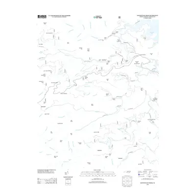
2013 Map of Santeetlah Creek
USGS Topo · Published 2013About this map
Stewart Cabin and Wilson Cabin sit deep within the Nantahala National Forest, marking a landscape defined by sharp elevation changes and high mountain peaks. This 2013 survey reveals the rugged geography of Graham County, where Santeetlah Lake and its numerous coves, such as Farley Cove, dominate the northeast. The terrain is a network of named ridges and knobs, including Firescald Ridge and Huckleberry Knob, which are drained by a complex system of waterways like Santeetlah Creek and Snowbird Creek.
Find a feature on this map
145 named features on this map. Tap any name to fly to it.
Don’t see what you’re looking for? This feature index may not catch every label — zoom into the map to look around manually.
Map Details
Editions of this 2013 Santeetlah Creek Map
This is the sole edition of this map. No revisions or reprints were ever made.
Other maps of this area

1893 · Murphy
USGS Topo · 1:125,000

1914 · Murphy
USGS Topo · 1:125,000

1927 · Big Junction
USGS Topo · 1:24,000

1933 · Haw Knob
USGS Topo · 1:48,000

1933 · Whiteoak Flats
USGS Topo · 1:24,000

1934 · McDaniel Bald
USGS Topo · 1:24,000

1934 · Murphy
USGS Topo · 1:48,000

1935 · Robbinsville
USGS Topo · 1:24,000

1935 · Fontana
USGS Topo · 1:24,000

1935 · Marble
USGS Topo · 1:24,000