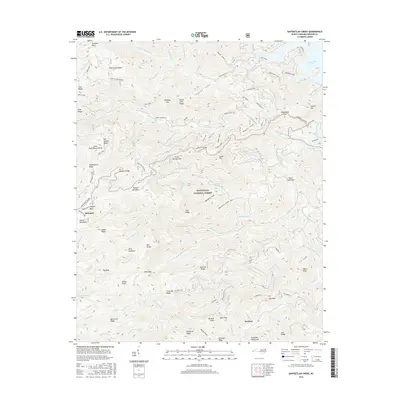
2016 Map of Santeetlah Creek
USGS Topo · Published 2016About this map
Nantahala National Forest dominates this landscape in the Unicoi Mountains, where the modern Cherohala Skyway winds through high-elevation gaps. The map documents the northern reaches of Santeetlah Lake and the intricate drainage basins of Santeetlah Creek and Snowbird Creek. Small settlements and named clusters like Mcguires and Dentons sit near the edges of the forest, while landmarks such as Blue Boar Lodge signify the area's recreational and residential development.
Find a feature on this map
116 named features on this map. Tap any name to fly to it.
Don’t see what you’re looking for? This feature index may not catch every label — zoom into the map to look around manually.
Map Details
Editions of this 2016 Santeetlah Creek Map
This is the sole edition of this map. No revisions or reprints were ever made.
Other maps of this area

1893 · Murphy
USGS Topo · 1:125,000

1914 · Murphy
USGS Topo · 1:125,000

1927 · Big Junction
USGS Topo · 1:24,000

1933 · Haw Knob
USGS Topo · 1:48,000

1933 · Whiteoak Flats
USGS Topo · 1:24,000

1934 · McDaniel Bald
USGS Topo · 1:24,000

1934 · Murphy
USGS Topo · 1:48,000

1935 · Robbinsville
USGS Topo · 1:24,000

1935 · Fontana
USGS Topo · 1:24,000

1935 · Marble
USGS Topo · 1:24,000