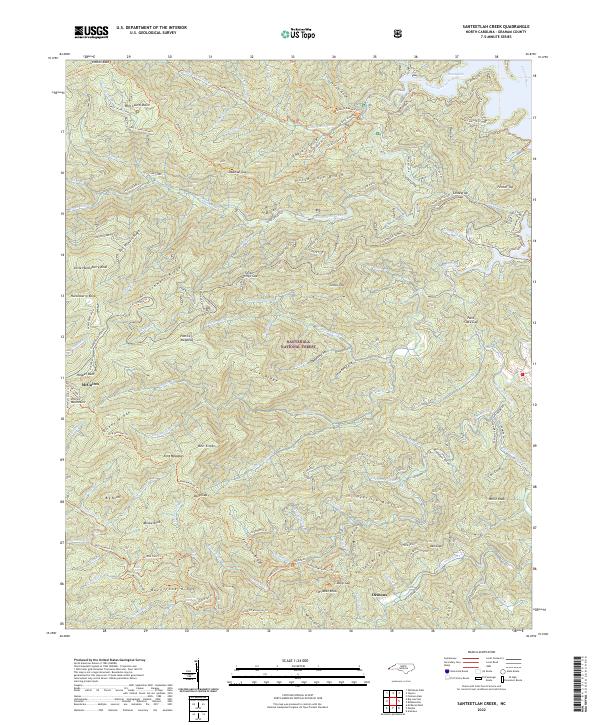
2022 Map of Santeetlah Creek
USGS Topo · Published 2022About this map
The high ridges of Graham County dominate this 2022 survey, where the Nantahala National Forest encompasses a landscape defined by steep gaps and seasonal meadows. Settlement patterns are sparse, represented by small clusters like McGuires and Dentons, while the McGuires Cabin stands as a landmark near the western boundary. The terrain is marked by a complex network of waterways, including the headwaters of Santeetlah Creek and Snowbird Creek, which flow through deeply carved basins like Wolf Laurel Basin.
Find a feature on this map
126 named features on this map. Tap any name to fly to it.
Don’t see what you’re looking for? This feature index may not catch every label — zoom into the map to look around manually.
Map Details
Editions of this 2022 Santeetlah Creek Map
This is the sole edition of this map. No revisions or reprints were ever made.
Other maps of this area

1893 · Murphy
USGS Topo · 1:125,000

1914 · Murphy
USGS Topo · 1:125,000

1927 · Big Junction
USGS Topo · 1:24,000

1933 · Haw Knob
USGS Topo · 1:48,000

1933 · Whiteoak Flats
USGS Topo · 1:24,000

1934 · McDaniel Bald
USGS Topo · 1:24,000

1934 · Murphy
USGS Topo · 1:48,000

1935 · Robbinsville
USGS Topo · 1:24,000

1935 · Fontana
USGS Topo · 1:24,000

1935 · Marble
USGS Topo · 1:24,000