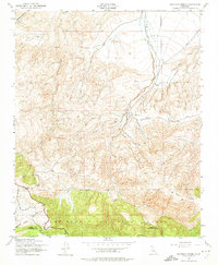
1943 Map of Santiago Creek
USGS Topo · Published 1974About this map
Los Padres National Forest anchors the southern portion of this landscape, where the administrative boundary between Kern and Ventura Counties traverses the high elevations of Blue Ridge. The terrain is defined by a dense network of drainages and canyons that feed into the larger basins of the southern San Joaquin Valley. Key watercourses like Santiago Creek, Bitter Creek, and Muddy Creek carve through the San Emidio region, creating a complex topography of ridges and draws. These features, captured through aerial photography in the early 1940s, illustrate a largely undeveloped mountain corridor dominated by natural drainage patterns such as Ballinger Canyon and Cienaga Canyon, providing a clear view of the wilderness character of the area before modern infrastructure expanded further into the forest outskirts.
Find a feature on this map
10 named features on this map. Tap any name to fly to it.
Don’t see what you’re looking for? This feature index may not catch every label — zoom into the map to look around manually.
Map Details
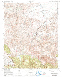
Editions of this 1943 Santiago Creek Map
3 editions found

Other maps of this area

1903 · Mt. Pinos
USGS Topo · 1:125,000

1910 · Buena Vista Lake
USGS Topo · 1:125,000

1912 · Buena Vista Lake
USGS Topo · 1:125,000

1931 · Pentland Junction
USGS Topo · 1:31,680

1931 · Hayes Ranch
USGS Topo · 1:31,680

1933 · Hayes Ranch
USGS Topo · 1:31,680

1934 · Pentland
USGS Topo · 1:31,680

1942 · Eagle Rest Peak
USGS Topo · 1:24,000

1942 · Ballinger Canyon
USGS Topo · 1:24,000

1943 · Maricopa
USGS Topo · 1:31,680