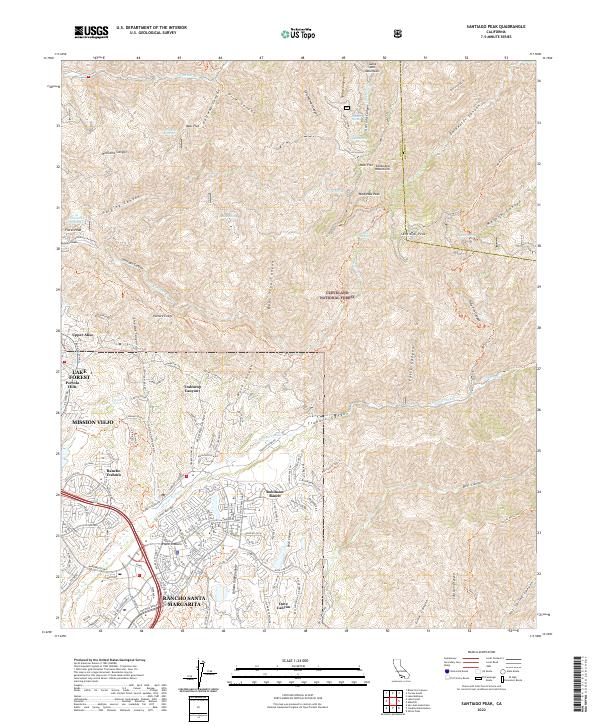
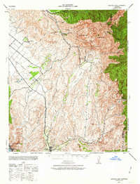
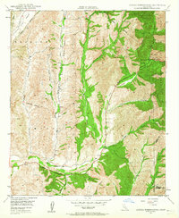
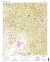
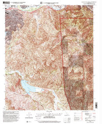
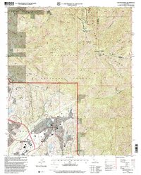
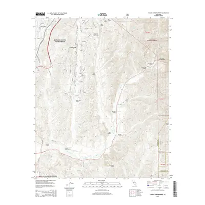
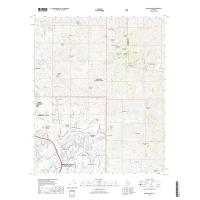
2022 Map of Santiago Peak
USGS Topo · Published 2022About this map
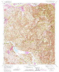
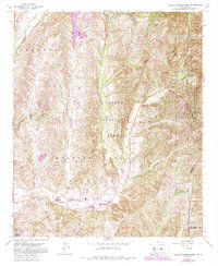
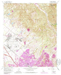
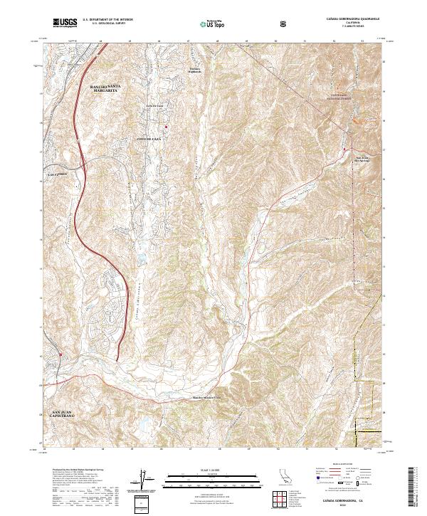
The Santa Ana Mountains dominate this landscape, culminating at the prominent heights of Modjeska Peak and Santiago Peak. Managed largely as part of the Cleveland National Forest, the terrain is defined by steep drainage systems including Williams Canyon, Harding Canyon, and the extensive Santiago Canyon. In contrast to the wilderness peaks, the western and southern margins show the modern expansion of Orange County suburban developments. Neighborhoods such as Rancho Santa Margarita, Mission Viejo, and Lake Forest sit at the edge of these foothills. Local landmarks like Modjeska Reservoir and numerous springs, including Shrewsbury Spring and Bighorn Spring, are scattered throughout the canyons, while old routes such as the Joplin Trl and Holy Jim Trl provide access into the high backcountry of the Trabuco region.
Find a feature on this map
68 named features on this map. Tap any name to fly to it.
Don’t see what you’re looking for? This feature index may not catch every label — zoom into the map to look around manually.
Map Details
Editions of this 2022 Santiago Peak Map
This is the sole edition of this map. No revisions or reprints were ever made.
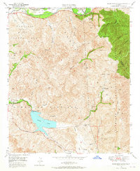
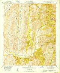
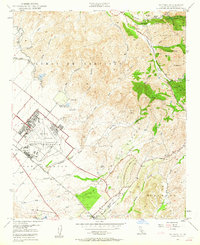
Historical Maps of Mission Viejo Through Time
44 maps found
1896 Las Bolsas
Orange County, CA
1896 San Pedro
Orange County, CA
1902 Capistrano
Orange County, CA

1906 Capistrano
Orange County, CA
1935 El Toro
Orange County, CA

1935 Olinda
Orange County, CA
1941 Las Bolsas
Orange County, CA
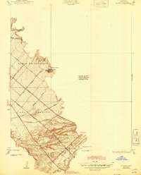
1942 Santiago Peak
Orange County, CA

1943 Las Bolsas
Orange County, CA
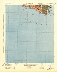
1944 San Pedro
Orange County, CA
1948 Canada Gobernadora
Orange County, CA
1949 Black Star Canyon
Orange County, CA
1949 Canada Gobernadora
Orange County, CA
1949 El Toro
Orange County, CA

1950 Black Star Canyon
Orange County, CA

1950 El Toro
Orange County, CA
1954 Santiago Peak
Orange County, CA
1967 Black Star Canyon
Orange County, CA
1968 Canada Gobernadora
Orange County, CA
1968 El Toro
Orange County, CA

1974 Black Star Canyon
Orange County, CA

1974 Canada Gobernadora
Orange County, CA

1974 El Toro
Orange County, CA

1974 Santiago Peak
Orange County, CA
1997 Black Star Canyon
Orange County, CA

1997 Canada Gobernadora
Orange County, CA

1997 El Toro
Orange County, CA
1997 Santiago Peak
Orange County, CA
2012 Black Star Canyon
Orange County, CA
2012 Canada Gobernadora
Orange County, CA
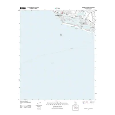
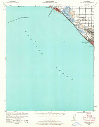
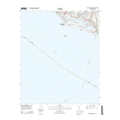
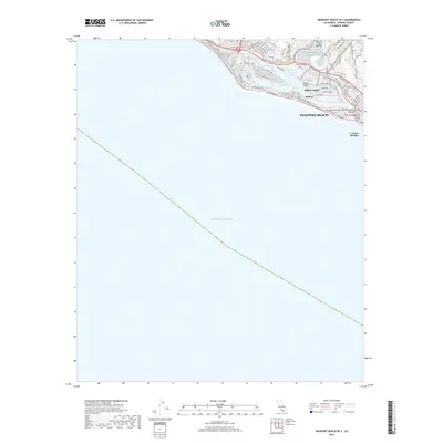
2012 Newport Beach OE S
Orange County, CA
2012 Santiago Peak
Orange County, CA
2015 Black Star Canyon
Orange County, CA
2015 Canada Gobernadora
Orange County, CA
2015 Newport Beach OE S
Orange County, CA
2015 Santiago Peak
Orange County, CA
2018 Black Star Canyon
Orange County, CA
2018 Canada Gobernadora
Orange County, CA
2018 Newport Beach OE S
Orange County, CA
2018 Santiago Peak
Orange County, CA
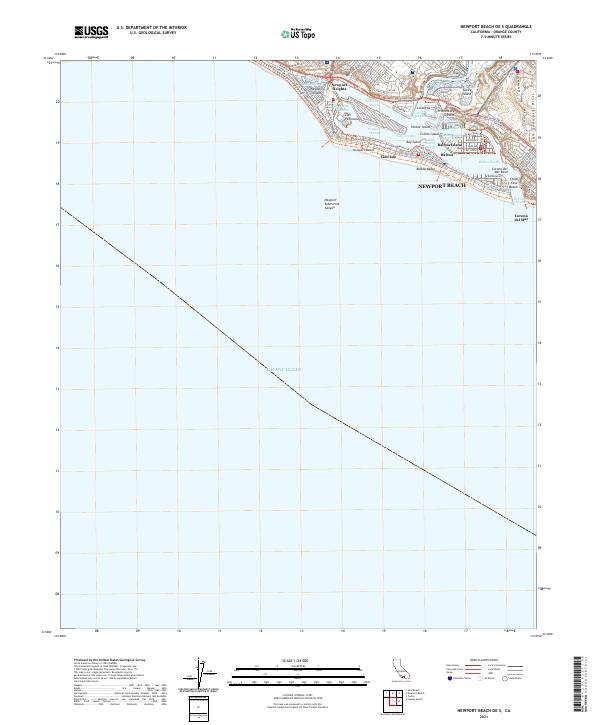
2021 Newport Beach OE S
Orange County, CA
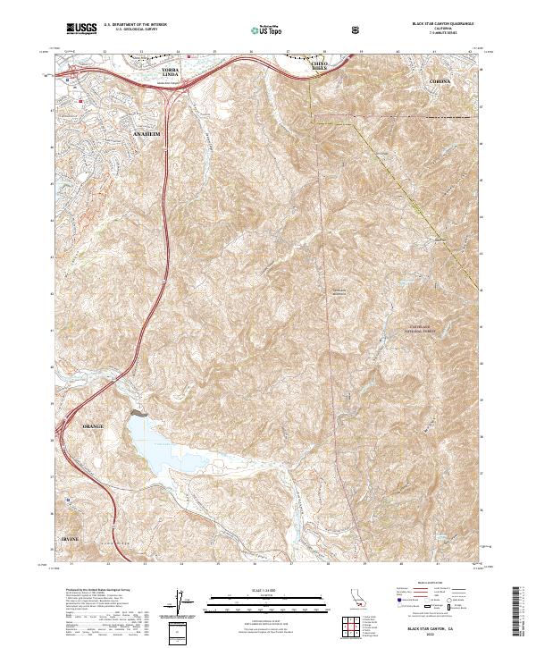
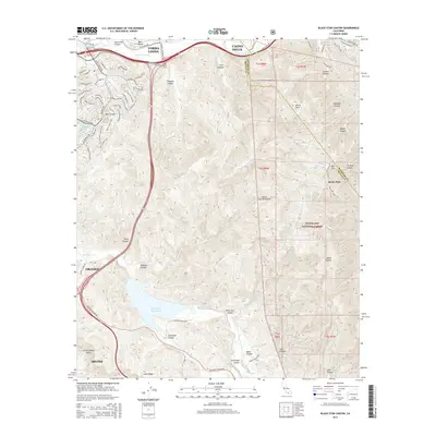
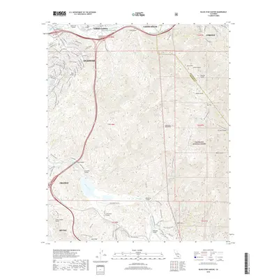
2022 Black Star Canyon
Orange County, CA
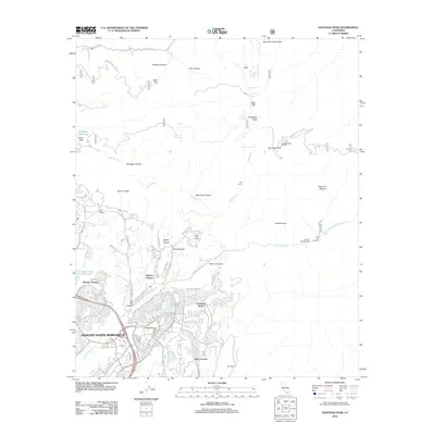
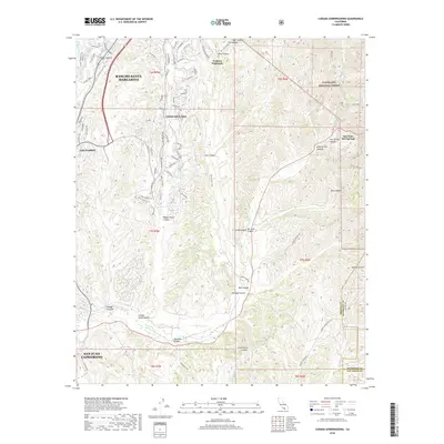
2022 Canada Gobernadora
Orange County, CA
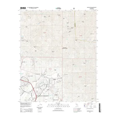
2022 Santiago Peak
Orange County, CA
Featured Locations
- Lake Forest, CA
- Rancho Santa Margarita, CA
- Mission Viejo, CA
- Trabuco Canyon, CA
- Portola Hills, Lake Forest