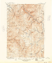
1909 Map of Sapphire
USGS Topo · Published 1949About this map
The Sapphire Mountains dominate this 1906–1907 survey, which captures the intersection of three major Western timberlands: the Bitterroot National Forest, Lolo National Forest, and Deerlodge National Forest. This high country, straddling the boundary of Ravalli and Granite counties, is defined by an intricate network of drainages feeding into the Bitterroot River and Rock Creek. Small high-altitude lakes such as Mud Lake, Stony Lake, and Medicine Lake dot the divide, marking a landscape largely shaped by seasonal water and timber management.
Find a feature on this map
57 named features on this map. Tap any name to fly to it.
Don’t see what you’re looking for? This feature index may not catch every label — zoom into the map to look around manually.
Map Details
Editions of this 1909 Sapphire Map
3 editions found
Other maps of this area

1901 · Hamilton
USGS Topo · 1:125,000

1903 · Bonner
USGS Topo · 1:125,000

1908 · Philipsburg
USGS Topo · 1:125,000

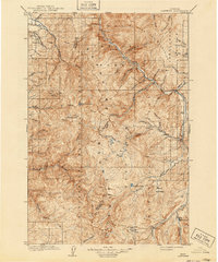
1909 · Sapphire
USGS Topo · 1:125,000

1912 · Missoula
USGS Topo · 1:125,000

1919 · Drummond
USGS Topo · 1:125,000

1921 · Drummond
USGS Topo · 1:125,000

1947 · Butte
USGS Topo · 1:250,000

1955 · Dillon
USGS Topo · 1:250,000

1956 · Elk City
USGS Topo · 1:250,000