
1909 Map of Sapphire
USGS Topo · Published 1909About this map
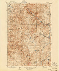
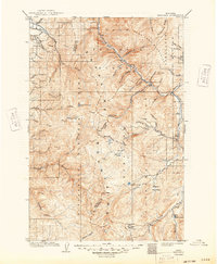
The Sapphire Mountains and the Bitterroot Mountains converge in this high-altitude survey of western Montana, revealing a landscape defined by sharp drainage divides and protected timberlands. The boundary line between Ravalli and Granite counties snakes along the crest of the range, separating the headwaters of the Bitterroot and Clark Fork watersheds. This 1909 edition depicts the early administrative boundaries of the Bitterroot National Forest and Missoula National Forest, illustrating how federal land management was already established in these remote subalpine basins.
Find a feature on this map
53 named features on this map. Tap any name to fly to it.
Don’t see what you’re looking for? This feature index may not catch every label — zoom into the map to look around manually.
Map Details
Editions of this 1909 Sapphire Map
3 editions found
Other maps of this area

1901 · Hamilton
USGS Topo · 1:125,000

1903 · Bonner
USGS Topo · 1:125,000

1908 · Philipsburg
USGS Topo · 1:125,000

1912 · Missoula
USGS Topo · 1:125,000

1919 · Drummond
USGS Topo · 1:125,000

1921 · Drummond
USGS Topo · 1:125,000

1947 · Butte
USGS Topo · 1:250,000

1955 · Dillon
USGS Topo · 1:250,000

1956 · Elk City
USGS Topo · 1:250,000

1956 · Hamilton
USGS Topo · 1:250,000