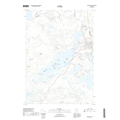
2019 Map of Saranac Lake
USGS Topo · Published 2019About this map
Lower Saranac Lake and its intricate network of islands, including Eagle Island, Sable Island, and Fern Island, dominate this 2019 survey of the High Peaks region. The landscape is a complex mosaic of water bodies and dramatic topography, where the Saranac River connects the major lakes to smaller basins like Second Pond and Oseetah Lake. Settlement is concentrated toward the northeast, where the streets of a bustling lakeside community include Main St and Bloomingdale Ave, bordering Lake Flower.
Find a feature on this map
101 named features on this map. Tap any name to fly to it.
Don’t see what you’re looking for? This feature index may not catch every label — zoom into the map to look around manually.
Map Details
Editions of this 2019 Saranac Lake Map
This is the sole edition of this map. No revisions or reprints were ever made.
Other maps of this area

1902 · Saranac
USGS Topo · 1:62,500

1904 · Saranac
USGS Topo · 1:62,500

1904 · Santanoni
USGS Topo · 1:62,500

1904 · Long Lake
USGS Topo · 1:62,500

1905 · Saint Regis
USGS Topo · 1:62,500

1948 · Ogdensburg
USGS Topo · 1:250,000

1951 · Ogdensburg
USGS Topo · 1:250,000

1953 · Ogdensburg
USGS Topo · 1:250,000

1953 · Santanoni
USGS Topo · 1:62,500

1955 · Long Lake
USGS Topo · 1:62,500