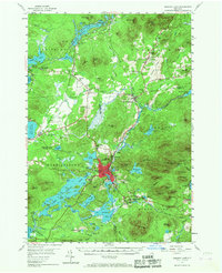
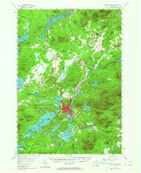
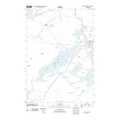
1955 Map of Saranac Lake
USGS Topo · Published 1967About this map
Saranac Lake serves as the focal point of this mid-century Adirondack survey, showing the village's layout at the edge of Lake Colby and Flower Lake. The landscape is defined by its complex waterway systems, including the Osgood River and the Saranac River, which feed into numerous ponds and lakes like Rainbow Lake and Oseetah Lake. Transportation and institutional history are prominent, with the New York Central railroad passing through McMasters Crossing and Lake Clear Junction.
Find a feature on this map
99 named features on this map. Tap any name to fly to it.
Don’t see what you’re looking for? This feature index may not catch every label — zoom into the map to look around manually.
Map Details
Editions of this 1955 Saranac Lake Map
5 editions found
Historical Maps of North Elba Through Time
9 maps found
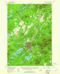
1955 Saranac Lake
Franklin County, NY
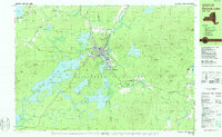
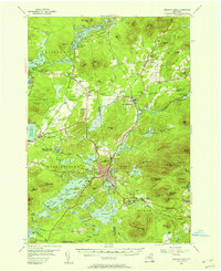
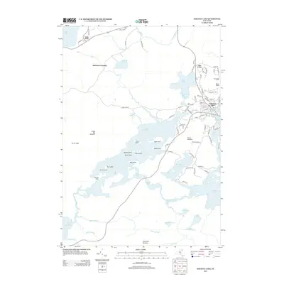
1978 Saranac Lake
Franklin County, NY
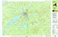
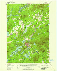
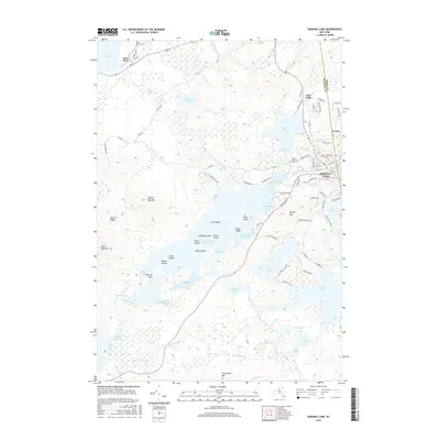
1979 Saranac Lake
Franklin County, NY
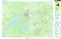
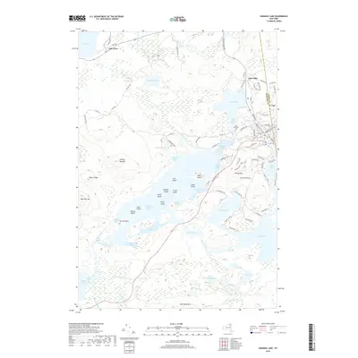
1999 Saranac Lake
Franklin County, NY
2010 Saranac Lake
Franklin County, NY
2013 Saranac Lake
Franklin County, NY
2016 Saranac Lake
Franklin County, NY
2019 Saranac Lake
Franklin County, NY

2023 Saranac Lake
Franklin County, NY