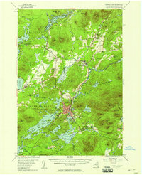
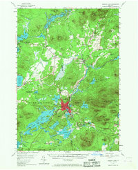
1955 Map of Saranac Lake
USGS Topo · Published 1958About this map
Saranac Lake serves as the central hub of this mid-century Adirondack landscape, where the New York Central Railroad corridor threads through a dense network of waterways and mountains. The map documents a specific social and medical history, notably featuring the Trudeau settlement and the Sanatorium just east of the village, alongside localized landmarks like the Drive-in Theater and the Saranac Lake Airport. Small communities such as Gabriels, Onchiota, and Paul Smiths—known for its Easy Street—are connected by winding forest roads and rail lines like the New York Central.
Find a feature on this map
95 named features on this map. Tap any name to fly to it.
Don’t see what you’re looking for? This feature index may not catch every label — zoom into the map to look around manually.
Map Details
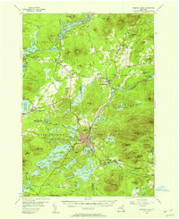
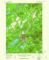
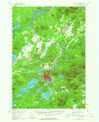
Editions of this 1955 Saranac Lake Map
5 editions found
Other maps of this area

1895 · Mt. Marcy
USGS Topo · 1:62,500

1896 · Lake Placid
USGS Topo · 1:62,500

1898 · Lake Placid
USGS Topo · 1:62,500

1902 · Mt. Marcy
USGS Topo · 1:62,500

1902 · Saranac
USGS Topo · 1:62,500

1904 · Saranac
USGS Topo · 1:62,500

1904 · Santanoni
USGS Topo · 1:62,500

1904 · Long Lake
USGS Topo · 1:62,500

1905 · Saint Regis
USGS Topo · 1:62,500

1906 · Loon Lake
USGS Topo · 1:62,500