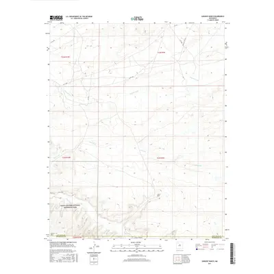
2017 Map of Sargent Ranch
USGS Topo · Published 2017About this map
Chaco Culture National Historical Park anchors the southern portion of this landscape, marking a terrain defined by significant archaeological and cultural heritage. The map documents a high-desert environment where drainage patterns such as Chaco Wash and Gallo Wash converge within the iconic Chaco Canyon. This 2017 survey details the intersection of the San Juan and McKinley County line, showcasing the proximity of local landholdings like Sargent Ranch to protected national lands. Transport across this arid region relies on a network of tribal and local routes, including Indian Svc Rte 456 and the Wijiji Trail, which provides pedestrian access to the canyon's interior. The presence of Escavada Wash further north illustrates the complex network of ephemeral waterways that have shaped human settlement and movement in this part of New Mexico for centuries.
Find a feature on this map
16 named features on this map. Tap any name to fly to it.
Don’t see what you’re looking for? This feature index may not catch every label — zoom into the map to look around manually.
Map Details
Editions of this 2017 Sargent Ranch Map
This is the sole edition of this map. No revisions or reprints were ever made.
Other maps of this area

1883 · Mt. Taylor
USGS Topo · 1:250,000

1886 · Mt. Taylor
USGS Topo · 1:250,000

1889 · Largo
USGS Topo · 1:250,000

1892 · Mt. Taylor
USGS Topo · 1:250,000

1895 · Largo
USGS Topo · 1:250,000

1899 · Mt. Taylor
USGS Topo · 1:250,000

1954 · Aztec
USGS Topo · 1:250,000

1958 · Aztec
USGS Topo · 1:250,000

1958 · Albuquerque
USGS Topo · 1:250,000
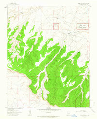
1961 · Pueblo Pintado
USGS Topo · 1:24,000