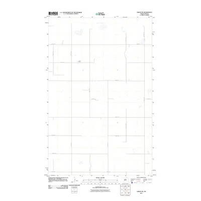
2011 Map of Sarles NE
USGS Topo · Published 2011About this map
Byron Cemetery stands as a primary landmark in this rural landscape of northern Cavalier County, situated just south of 107th St NE. The terrain is defined by a strictly organized section-line road grid, including Townline Rd and 83rd Ave NE, which facilitates agriculture across the open plains. Small, scattered wetlands and depressions dot the prairie between arterial routes like 85th Ave NE and 105th St NE, illustrating the natural drainage patterns of this borderland region. The mapping of these local roads and isolated features provides a clear view of the sparse rural settlement pattern and land use in this part of North Dakota during the early 21st century.
Find a feature on this map
16 named features on this map. Tap any name to fly to it.
Don’t see what you’re looking for? This feature index may not catch every label — zoom into the map to look around manually.
Map Details
Editions of this 2011 Sarles NE Map
This is the sole edition of this map. No revisions or reprints were ever made.
Other maps of this area

1953 · Devils Lake
USGS Topo · 1:250,000

1956 · Devils Lake
USGS Topo · 1:250,000

1970 · Sarles NE
USGS Topo · 1:24,000

1970 · Calvin
USGS Topo · 1:24,000

1970 · Sarles SE
USGS Topo · 1:24,000

1970 · Sarles
USGS Topo · 1:24,000

1970 · Hannah SW
USGS Topo · 1:24,000

1970 · Hannah
USGS Topo · 1:24,000

1985 · Langdon
USGS Topo · 1:100,000
2011 · Hannah SW
USGS Topo · 1:24,000