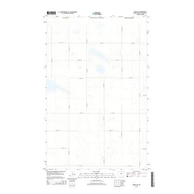
2014 Map of Sarles NE
USGS Topo · Published 2014About this map
Byron Cem sits as a solitary point of historical interest in this northern reaches of Cavalier County, situated just south of the international border with the United States and Canada. The landscape is characterized by a high concentration of prairie potholes and small wetlands, which are interspersed throughout a rigid section-line road grid. These roads, including 108th St NE and 101st St NE, facilitate movement through the agricultural terrain of the Red River Valley's upper reaches. The geography is remarkably open, with only subtle elevation changes and numerous seasonal water bodies, reflecting the glacial history of the North Dakota plains.
Find a feature on this map
11 named features on this map. Tap any name to fly to it.
Don’t see what you’re looking for? This feature index may not catch every label — zoom into the map to look around manually.
Map Details
Editions of this 2014 Sarles NE Map
This is the sole edition of this map. No revisions or reprints were ever made.
Other maps of this area

1953 · Devils Lake
USGS Topo · 1:250,000

1956 · Devils Lake
USGS Topo · 1:250,000

1970 · Sarles NE
USGS Topo · 1:24,000

1970 · Calvin
USGS Topo · 1:24,000

1970 · Sarles SE
USGS Topo · 1:24,000

1970 · Sarles
USGS Topo · 1:24,000

1970 · Hannah SW
USGS Topo · 1:24,000

1970 · Hannah
USGS Topo · 1:24,000

1985 · Langdon
USGS Topo · 1:100,000
2011 · Hannah SW
USGS Topo · 1:24,000