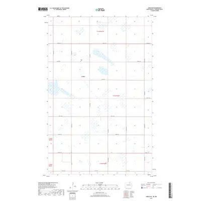
2017 Map of Sarles NE
USGS Topo · Published 2017About this map
Byron Cem sits along 107th St NE, serving as a quiet landmark in this corner of Cavalier County. This portion of North Dakota is defined by the Public Land Survey System, with a rigid grid of section lines and gravel roads such as Townline Rd and 84th Ave NE carving the prairie into neat squares. The landscape is dotted with numerous small wetlands and prairie potholes typical of the region's glaciated terrain, including the designated Ccwpa area. Regional travel is facilitated by Co Rd 7, which anchors the southern half of the quadrangle. The map captures a quintessential Great Plains agricultural pattern where life is organized around specific section markers and occasional rural cemeteries that preserve the names of early settler families.
Find a feature on this map
23 named features on this map. Tap any name to fly to it.
Don’t see what you’re looking for? This feature index may not catch every label — zoom into the map to look around manually.
Map Details
Editions of this 2017 Sarles NE Map
This is the sole edition of this map. No revisions or reprints were ever made.
Other maps of this area

1953 · Devils Lake
USGS Topo · 1:250,000

1956 · Devils Lake
USGS Topo · 1:250,000

1970 · Sarles NE
USGS Topo · 1:24,000

1970 · Calvin
USGS Topo · 1:24,000

1970 · Sarles SE
USGS Topo · 1:24,000

1970 · Sarles
USGS Topo · 1:24,000

1970 · Hannah SW
USGS Topo · 1:24,000

1970 · Hannah
USGS Topo · 1:24,000

1985 · Langdon
USGS Topo · 1:100,000
2011 · Hannah SW
USGS Topo · 1:24,000