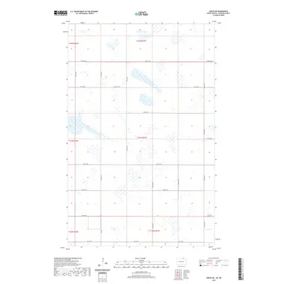
2020 Map of Sarles NE
USGS Topo · Published 2020About this map
The Byron Cem serves as a lone cultural landmark within this prairie landscape of northern Cavalier County, situated just south of the Canadian border. The terrain is defined by a dense network of glacial potholes and wetlands that punctuate the agricultural sections, creating a complex pattern of water and land. Transportation across this portion of the Red River Valley upland relies on a strictly gridded system of section-line roads, including Townline Rd and Co Rd 7. This 2020 survey illustrates the enduring Public Land Survey System structure, with township lines like t164n r63w and t163n r63w organizing the rural space. The absence of concentrated settlements highlights the area's specialized focus on large-scale farming and the preservation of natural wetland basins.
Find a feature on this map
23 named features on this map. Tap any name to fly to it.
Don’t see what you’re looking for? This feature index may not catch every label — zoom into the map to look around manually.
Map Details
Editions of this 2020 Sarles NE Map
This is the sole edition of this map. No revisions or reprints were ever made.
Other maps of this area

1953 · Devils Lake
USGS Topo · 1:250,000

1956 · Devils Lake
USGS Topo · 1:250,000

1970 · Sarles NE
USGS Topo · 1:24,000

1970 · Calvin
USGS Topo · 1:24,000

1970 · Sarles SE
USGS Topo · 1:24,000

1970 · Sarles
USGS Topo · 1:24,000

1970 · Hannah SW
USGS Topo · 1:24,000

1970 · Hannah
USGS Topo · 1:24,000

1985 · Langdon
USGS Topo · 1:100,000
2011 · Hannah SW
USGS Topo · 1:24,000