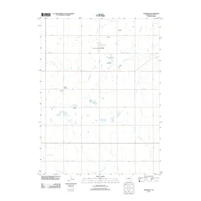
2011 Map of Saronville
USGS Topo · Published 2011About this map
Saronville and Verona serve as the primary focal points of this Clay County landscape, where the agricultural grid is defined by a systematic network of section roads like Road 319 and Road Q. The map reveals a community deeply rooted in its local history, evidenced by several burial grounds including the Verona Baptist Cemetery, Saron Cemetery, and the Saronville Cemetery north of town. The drainage patterns of School Creek and Turkey Creek are interrupted by man-made features such as the Percival-Erickson Reservoir and Schmer Reservoir, reflecting the importance of water management and irrigation in this Nebraska plains environment. The proximity of the Saronville Post Office to Hamilton St marks the small-town core within an expansive layout of numbered roads.
Find a feature on this map
29 named features on this map. Tap any name to fly to it.
Don’t see what you’re looking for? This feature index may not catch every label — zoom into the map to look around manually.
Map Details
Editions of this 2011 Saronville Map
This is the sole edition of this map. No revisions or reprints were ever made.
Other maps of this area

1898 · York
USGS Topo · 1:125,000

1898 · Superior
USGS Topo · 1:125,000

1898 · Hebron
USGS Topo · 1:125,000

1898 · Grand Island
USGS Topo · 1:125,000

1899 · York
USGS Topo · 1:125,000

1955 · Lincoln
USGS Topo · 1:250,000

1955 · Grand Island
USGS Topo · 1:250,000

1957 · Lincoln
USGS Topo · 1:250,000

1957 · Grand Island
USGS Topo · 1:250,000

1958 · Grand Island
USGS Topo · 1:250,000