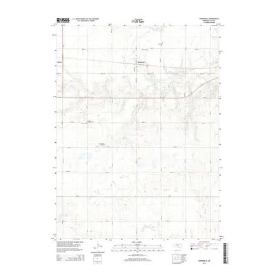
2014 Map of Saronville
USGS Topo · Published 2014About this map
Saronville and the eastern edge of Sutton anchor this agricultural landscape in Clay County, Nebraska. The map reveals a strictly organized section-line road grid, including Us-6 and Ne-41, which facilitates travel across the drainage basins of School Cr, Turkey Cr, and Little Sandy Cr. This drainage network is supplemented by local water management features such as Percival-Erickson Reservoir and Schmer Reservoir, reflecting the region's long-standing reliance on irrigation and water storage for prairie farming.
Find a feature on this map
21 named features on this map. Tap any name to fly to it.
Don’t see what you’re looking for? This feature index may not catch every label — zoom into the map to look around manually.
Map Details
Editions of this 2014 Saronville Map
This is the sole edition of this map. No revisions or reprints were ever made.
Other maps of this area

1898 · York
USGS Topo · 1:125,000

1898 · Superior
USGS Topo · 1:125,000

1898 · Hebron
USGS Topo · 1:125,000

1898 · Grand Island
USGS Topo · 1:125,000

1899 · York
USGS Topo · 1:125,000

1955 · Lincoln
USGS Topo · 1:250,000

1955 · Grand Island
USGS Topo · 1:250,000

1957 · Lincoln
USGS Topo · 1:250,000

1957 · Grand Island
USGS Topo · 1:250,000

1958 · Grand Island
USGS Topo · 1:250,000