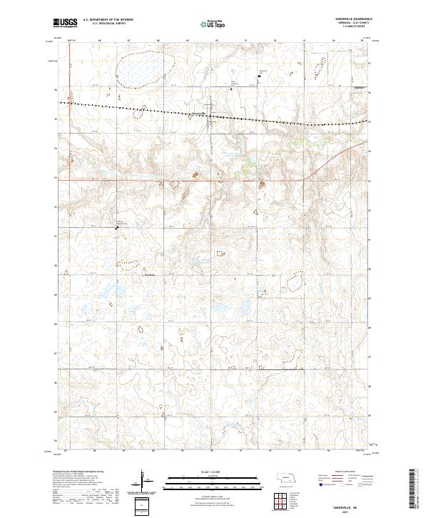
2021 Map of Saronville
USGS Topo · Published 2021About this map
Saronville sits at the northern edge of this agricultural landscape in Clay County, centered on the intersection of S Main St and RD 318. The map documents a rural transition where the high plains of Nebraska are carved by seasonal watercourses like School Cr and Turkey Cr. The presence of numerous community-specific burial sites, including the Saron Lutheran Cem and Verona Baptist Cem, suggests a history of distinct ethnic or denominational settlements that once anchored these townships. To the south, the village of Verona is surrounded by several small impoundments such as the Schmier Reservoir and Percival-Erickson Reservoir, which reflect the region's managed water resources for farming. The grid of section roads, from RD Q to RD W, maintains the strictly ordered survey pattern typical of the Midwest, providing a clear framework for tracing early 21st-century land ownership and family farm locations.
Find a feature on this map
37 named features on this map. Tap any name to fly to it.
Don’t see what you’re looking for? This feature index may not catch every label — zoom into the map to look around manually.
Map Details
Editions of this 2021 Saronville Map
This is the sole edition of this map. No revisions or reprints were ever made.
Other maps of this area

1898 · York
USGS Topo · 1:125,000

1898 · Superior
USGS Topo · 1:125,000

1898 · Hebron
USGS Topo · 1:125,000

1898 · Grand Island
USGS Topo · 1:125,000

1899 · York
USGS Topo · 1:125,000

1955 · Lincoln
USGS Topo · 1:250,000

1955 · Grand Island
USGS Topo · 1:250,000

1957 · Lincoln
USGS Topo · 1:250,000

1957 · Grand Island
USGS Topo · 1:250,000

1958 · Grand Island
USGS Topo · 1:250,000