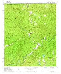
1961 Map of Satolah
USGS Topo · Published 1964About this map
Satolah serves as a small focal point in this 1961 survey, situated at the convergence of three national forests. The map documents a sparsely populated but deeply rooted community where family legacy is preserved in numerous burial grounds, including Hedden Cem, Brown Cem, and Billingsley Cem. The landscape is defined by the West Fork Chattooga River and the Chattooga River, which forms the border between Georgia and South Carolina.
Find a feature on this map
138 named features on this map. Tap any name to fly to it.
Don’t see what you’re looking for? This feature index may not catch every label — zoom into the map to look around manually.
Map Details
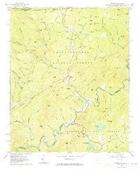
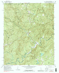
Editions of this 1961 Satolah Map
3 editions found
Other maps of this area

1886 · Walhalla
USGS Topo · 1:125,000

1891 · Cowee
USGS Topo · 1:125,000

1892 · Walhalla
USGS Topo · 1:125,000

1896 · Walhalla
USGS Topo · 1:125,000

1897 · Cowee
USGS Topo · 1:125,000

1907 · Cowee
USGS Topo · 1:125,000

1935 · Cashiers
USGS Topo · 1:24,000

1935 · Scaly
USGS Topo · 1:24,000

1935 · Rabun Bald
USGS Topo · 1:24,000
1935 · Highlands
USGS Topo · 1:24,000