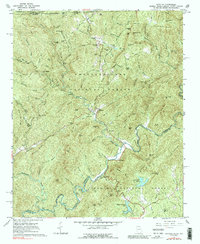
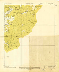
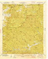
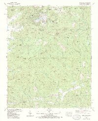
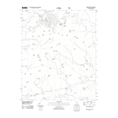
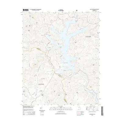
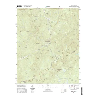
1961 Map of Satolah
USGS Topo · Published 1991About this map
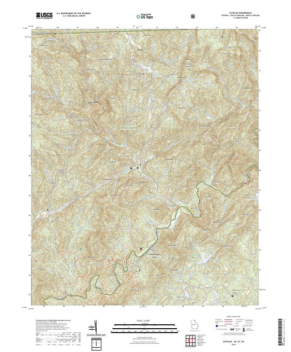
Satolah sits at a high-elevation crossroads where the borders of Georgia, North Carolina, and South Carolina converge within the Blue Ridge Mountains. This 1961 field-checked survey reveals a landscape of isolated homesteads and small community centers defined by the Chattahoochee National Forest, Nantahala National Forest, and Sumter National Forest. The map is particularly detailed regarding local family history, noting numerous small burial grounds such as Hedden Cem, Page Cem, and Burrell Cem, often located near primary watercourses like Big Creek and Overflow Creek. The presence of the Macedonia Ch and a Post Office at Satolah indicates the hub of civic life for the surrounding ridges. Deep mountain gaps like Sandy Gap and John Teague Gap provided essential passage through the steep terrain, while landmarks like Russell Bridge and Long Bottom Ford identify early river crossing points used before the modernization of the local road network.
Find a feature on this map
135 named features on this map. Tap any name to fly to it.
Don’t see what you’re looking for? This feature index may not catch every label — zoom into the map to look around manually.
Map Details
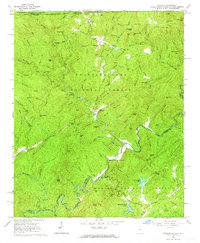
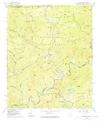
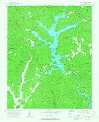
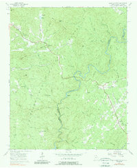
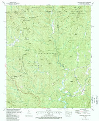
Editions of this 1961 Satolah Map
3 editions found
Historical Maps of Pine Mountain Through Time
37 maps found
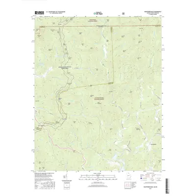
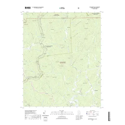
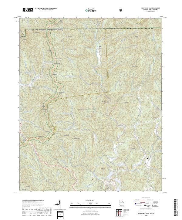
1935 Hightower Bald
Rabun County, GA
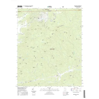
1935 Rabun Bald
Rabun County, GA
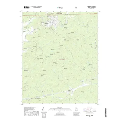
1946 Hightower Bald
Rabun County, GA
1946 Rabun Bald
Rabun County, GA
1947 Hightower Bald
Rabun County, GA
1947 Rabun Bald
Rabun County, GA
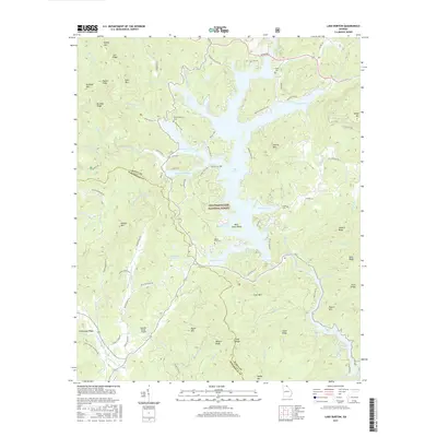
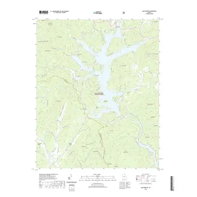
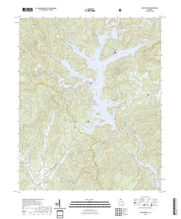
1957 Lake Burton
Rabun County, GA
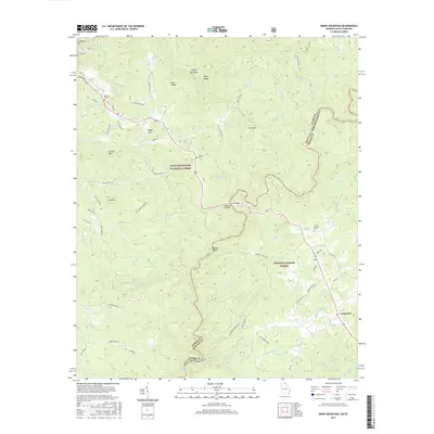
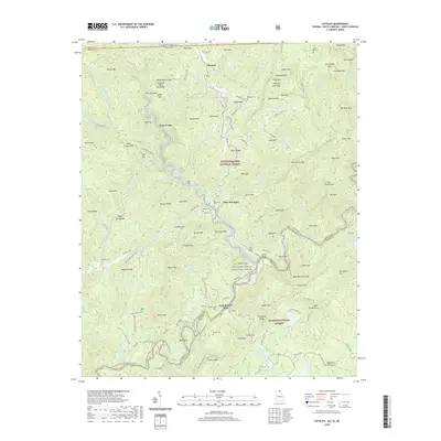
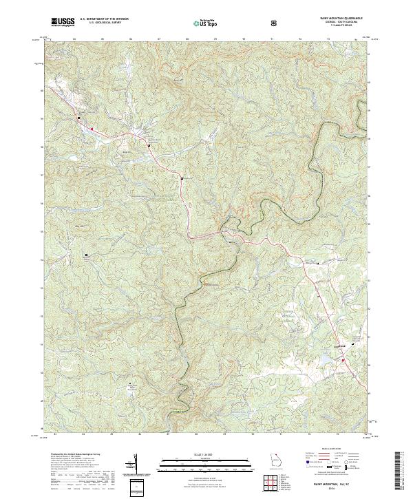
1957 Rainy Mountain
Rabun County, GA
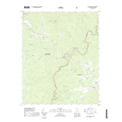
1961 Satolah
Rabun County, GA
1988 Hightower Bald
Rabun County, GA
1988 Rabun Bald
Rabun County, GA
1997 Rainy Mountain
Rabun County, GA
2011 Hightower Bald
Rabun County, GA
2011 Lake Burton
Rabun County, GA
2011 Rabun Bald
Rabun County, GA
2011 Rainy Mountain
Rabun County, GA
2011 Satolah
Rabun County, GA
2014 Hightower Bald
Rabun County, GA
2014 Lake Burton
Rabun County, GA
2014 Rabun Bald
Rabun County, GA
2014 Rainy Mountain
Rabun County, GA
2014 Satolah
Rabun County, GA
2017 Hightower Bald
Rabun County, GA
2017 Lake Burton
Rabun County, GA
2017 Rabun Bald
Rabun County, GA
2017 Rainy Mountain
Rabun County, GA
2017 Satolah
Rabun County, GA
2020 Hightower Bald
Rabun County, GA
2020 Lake Burton
Rabun County, GA
2020 Rabun Bald
Rabun County, GA
2020 Rainy Mountain
Rabun County, GA
2020 Satolah
Rabun County, GA
2024 Hightower Bald
Rabun County, GA
2024 Lake Burton
Rabun County, GA
2024 Rabun Bald
Rabun County, GA
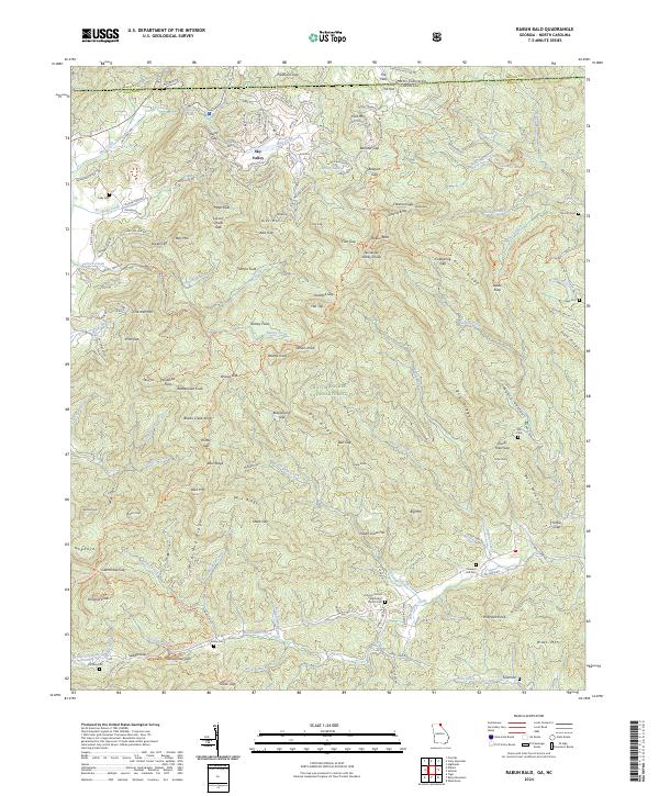
2024 Rainy Mountain
Rabun County, GA
2024 Satolah
Rabun County, GA