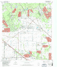
1982 Map of Satsuma
USGS Topo · Published 1982About this map
Cypress Creek and its many tributaries, including Faulkey Gully and Little Cypress Creek, define the landscape of this northwest Harris County area in the early 1980s. The map illustrates a period of rapid suburban expansion, with master-planned communities like Prestonwood Forest, Champions, and Greenwood Forest emerging north of the Houston Corporate Boundary. Older local markers, such as the Perry Cem and Dowdell Cem, sit alongside modern infrastructure like the Wharton Powerplant and a network of pipelines.
Find a feature on this map
41 named features on this map. Tap any name to fly to it.
Don’t see what you’re looking for? This feature index may not catch every label — zoom into the map to look around manually.
Map Details
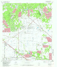
Editions of this 1982 Satsuma Map
2 editions found
Other maps of this area

1915 · Houston Heights
USGS Topo · 1:24,000

1915 · Cypress
USGS Topo · 1:24,000

1915 · Addicks
USGS Topo · 1:24,000

1915 · Hillendahl
USGS Topo · 1:24,000

1916 · Rose Hill
USGS Topo · 1:24,000

1916 · Aldine
USGS Topo · 1:24,000

1916 · Louetta
USGS Topo · 1:24,000

1916 · Satsuma
USGS Topo · 1:24,000

1916 · Spring
USGS Topo · 1:24,000

1918 · Cypress
USGS Topo · 1:31,680