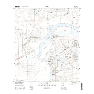
2015 Map of Satsuma
USGS Topo · Published 2015About this map
The Saint Johns River dominates this region of Putnam County, winding through a complex network of islands and marshy backwaters. In the south, the community of Satsuma is situated near the shores of Lake Myra and Saratoga Lake, while the Cross-Florida-Barge-Canal cuts through the western landscape. The river creates a labyrinth of landforms, including the large Murphy Island and smaller features like Polly Island and Seven Sisters Islands. Local heritage is anchored by several sites, including the Satsuma Cem, Peniel Cem, and Palatka Memorial Gardens. Further north, the settlement of Peniel sits near Silver Lake and Mud Lake, connected by rural routes like S Moody Rd and Old Peniel Rd. The map details a landscape where riverine environments meet established settlements like Nashua and Buffalo Bluff, reflecting the importance of the river corridor for local residency and transportation.
Find a feature on this map
205 named features on this map. Tap any name to fly to it.
Don’t see what you’re looking for? This feature index may not catch every label — zoom into the map to look around manually.
Map Details
Editions of this 2015 Satsuma Map
This is the sole edition of this map. No revisions or reprints were ever made.
Other maps of this area

1912 · Palatka
USGS Topo · 1:48,000

1915 · Palatka
USGS Topo · 1:62,500

1915 · Interlachen
USGS Topo · 1:48,000

1916 · Interlachen
USGS Topo · 1:62,500

1944 · Interlachen
USGS Topo · 1:62,500

1949 · Baywood
USGS Topo · 1:24,000

1949 · Rodman
USGS Topo · 1:24,000

1949 · Interlachen
USGS Topo · 1:62,500

1954 · Daytona Beach
USGS Topo · 1:250,000

1958 · Daytona Beach
USGS Topo · 1:250,000