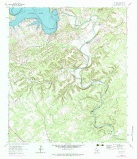
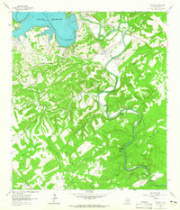
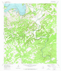
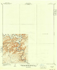
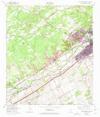
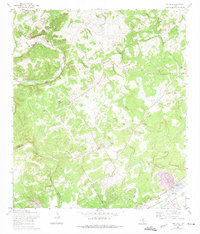
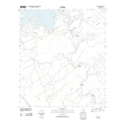
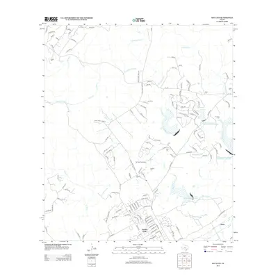
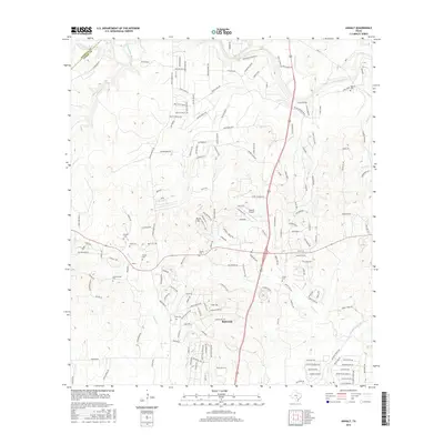
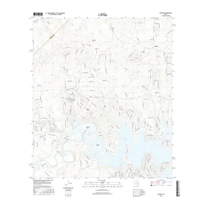
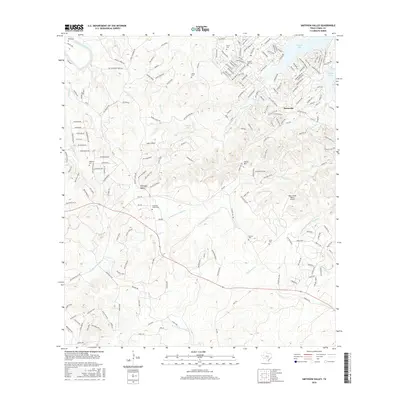
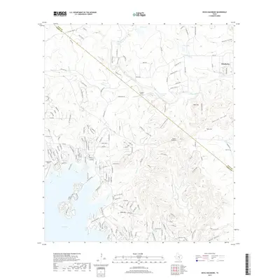
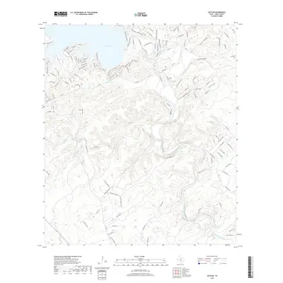
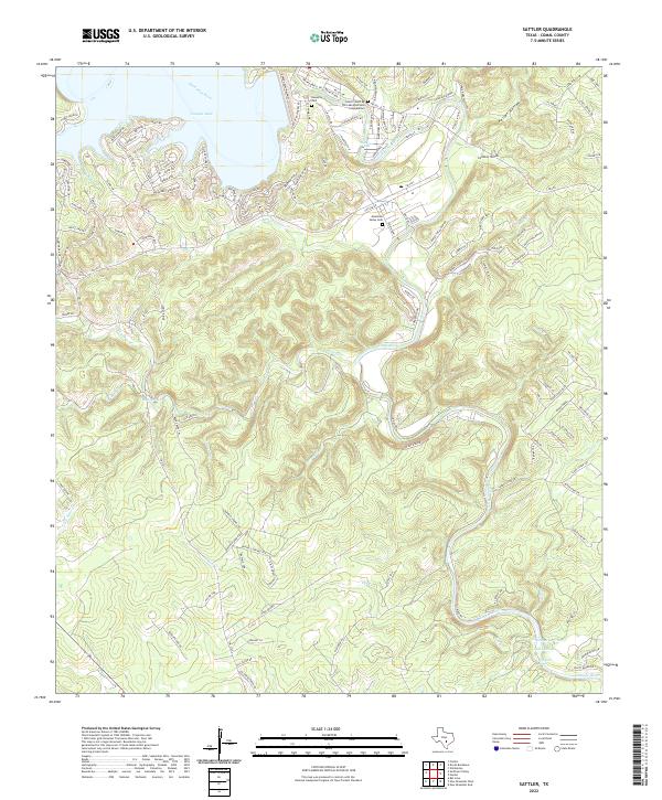
1963 Map of Sattler
USGS Topo · Published 1984About this map
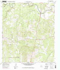
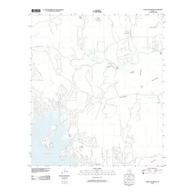
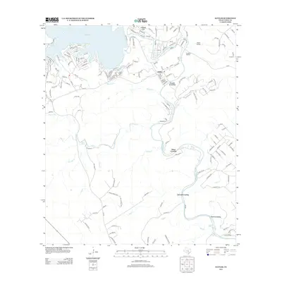
Guadalupe River meanders sharply through this Comal County landscape, defined by the early 1960s development of the reservoir at Canyon Lake. The engineering of the day is visible at the Spillway and the Control Tower, while the river's original path is traced through several numbered bridges, including the Third Crossing BR 667 and First Crossing BR 653. Small community hubs like Sattler and Canyon City provide focal points for local history, supported by rural institutions such as the Church In The Valley and Mountain Valley Sch. The terrain is deeply dissected by numerous named drainages including Dry Bear Creek, Jacobs Creek, and Elm Creek, which feed into the river valley. Notable landmarks such as Horseshoe Falls and Slumber Falls along the river's lower reaches highlight the area's transition into a destination for water-based activity during the mid-20th century.
Find a feature on this map
39 named features on this map. Tap any name to fly to it.
Don’t see what you’re looking for? This feature index may not catch every label — zoom into the map to look around manually.
Map Details
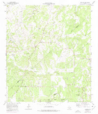
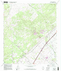
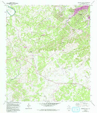
Editions of this 1963 Sattler Map
4 editions found
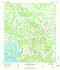
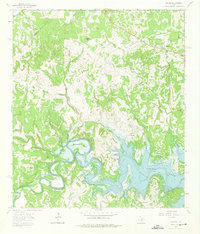
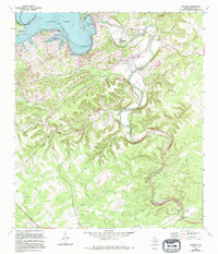
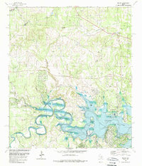
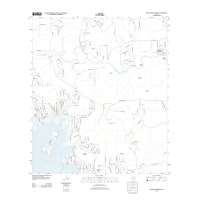
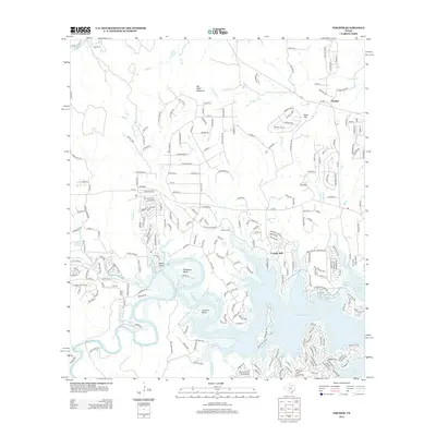
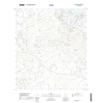
Historical Maps of Canyon Lake Through Time
66 maps found

1920 Smithsons Valley
Comal County, TX

1925 Hunter No 3
Comal County, TX

1925 Smithson Valley No. 1
Comal County, TX

1927 Smithson Valley
Comal County, TX
1929 Hunter
Comal County, TX

1929 Smithson Valley
Comal County, TX

1940 Smithson Valley
Comal County, TX

1953 Bat Cave
Comal County, TX
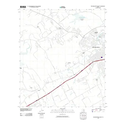
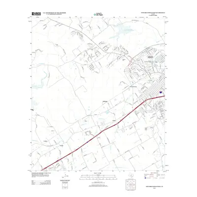
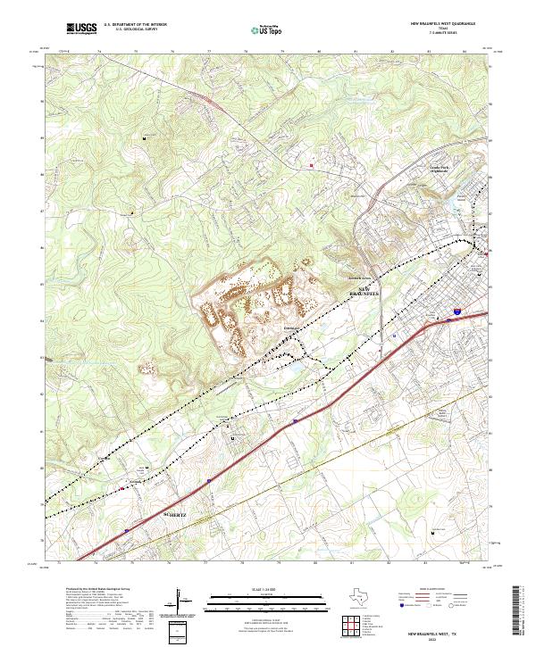
1958 New Braunfels West
Comal County, TX
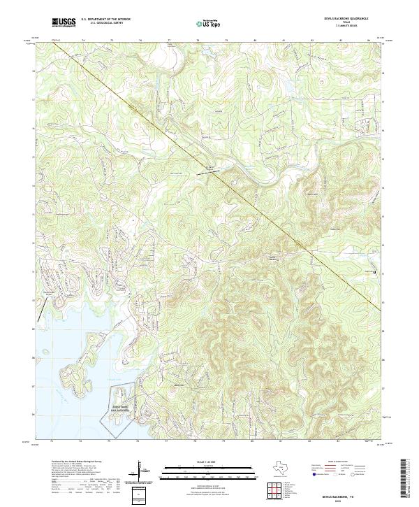
1963 Devils Backbone
Comal County, TX
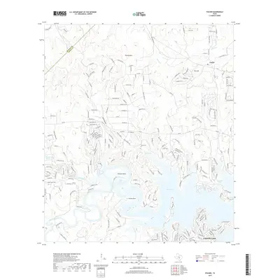
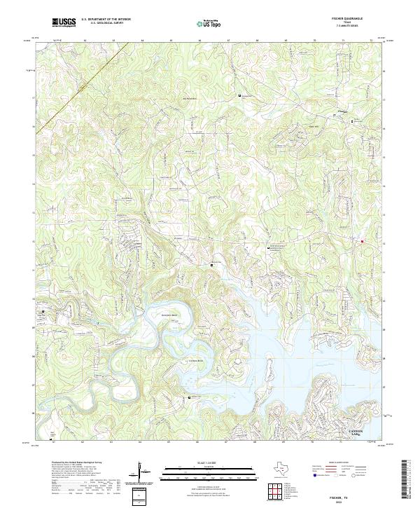
1963 Fischer
Comal County, TX
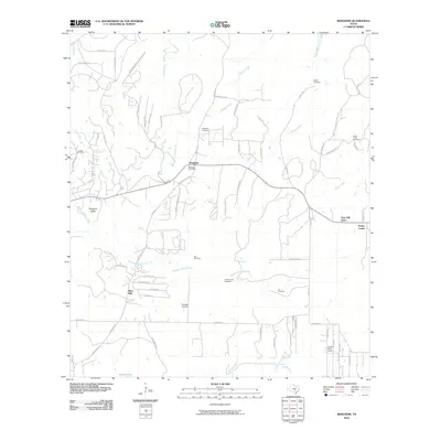
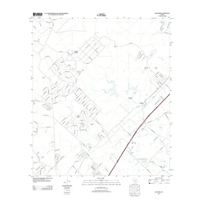
1963 Sattler
Comal County, TX
1964 Anhalt
Comal County, TX
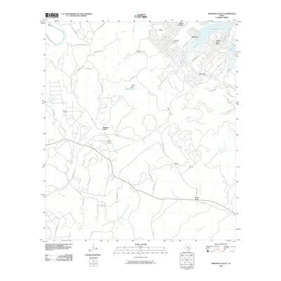
1964 Bergheim
Comal County, TX
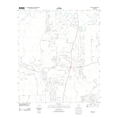
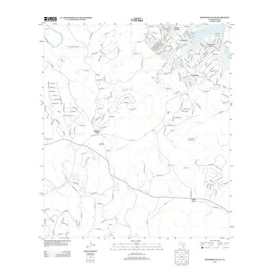
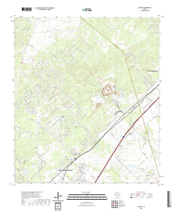
1964 Hunter
Comal County, TX
1964 Smithson Valley
Comal County, TX
1967 Bat Cave
Comal County, TX

1988 Bat Cave
Comal County, TX

1988 New Braunfels West
Comal County, TX

1989 Devils Backbone
Comal County, TX
1989 Fischer
Comal County, TX
2010 Anhalt
Comal County, TX
2010 Bat Cave
Comal County, TX
2010 Bergheim
Comal County, TX
2010 Devils Backbone
Comal County, TX
2010 Fischer
Comal County, TX
2010 Hunter
Comal County, TX
2010 New Braunfels West
Comal County, TX
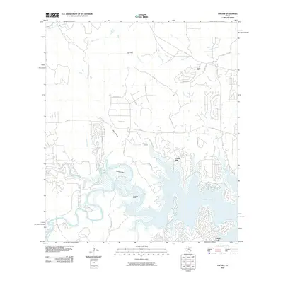
2010 Sattler
Comal County, TX
2010 Smithson Valley
Comal County, TX
2013 Anhalt
Comal County, TX
2013 Bat Cave
Comal County, TX
2013 Bergheim
Comal County, TX
2013 Devils Backbone
Comal County, TX
2013 Fischer
Comal County, TX
2013 Hunter
Comal County, TX
2013 New Braunfels West
Comal County, TX
2013 Sattler
Comal County, TX
2013 Smithson Valley
Comal County, TX
2016 Anhalt
Comal County, TX
2016 Bat Cave
Comal County, TX
2016 Bergheim
Comal County, TX
2016 Devils Backbone
Comal County, TX
2016 Fischer
Comal County, TX
2016 Hunter
Comal County, TX
2016 New Braunfels West
Comal County, TX
2016 Sattler
Comal County, TX
2016 Smithson Valley
Comal County, TX
2019 Anhalt
Comal County, TX
2019 Bat Cave
Comal County, TX
2019 Bergheim
Comal County, TX
2019 Devils Backbone
Comal County, TX
2019 Fischer
Comal County, TX
2019 Hunter
Comal County, TX
2019 New Braunfels West
Comal County, TX
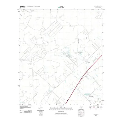
2019 Sattler
Comal County, TX
2019 Smithson Valley
Comal County, TX
2022 Anhalt
Comal County, TX
2022 Bat Cave
Comal County, TX

2022 Bergheim
Comal County, TX
2022 Devils Backbone
Comal County, TX
2022 Fischer
Comal County, TX
2022 Hunter
Comal County, TX
2022 New Braunfels West
Comal County, TX
2022 Sattler
Comal County, TX
2022 Smithson Valley
Comal County, TX
Featured Locations
- Circle S Estates, TX
- Elm Creek Ranch Estates, TX
- Pleasant Valley Estates, TX
- Pleasant Valley Ranches, TX
- Canyon Lake, TX