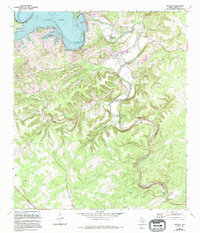
1963 Map of Sattler
USGS Topo · Published 1994About this map
The Guadalupe River carves a winding path through this portion of Comal County, anchoring a landscape defined by the significant presence of Canyon Lake. The river's serpentine course is punctuated by several documented river fords, including the First Crossing, Second Crossing, Third Crossing, and Fourth Crossing, indicating the historical importance of these river access points for local travel and commerce. Near the modern engineering of the dam and its spillway, the small community of Canyon City and the nearby Sattler provide a glimpse into the residential and educational development of the area, evidenced by the Mountain Valley Sch.
Find a feature on this map
31 named features on this map. Tap any name to fly to it.
Don’t see what you’re looking for? This feature index may not catch every label — zoom into the map to look around manually.
Map Details
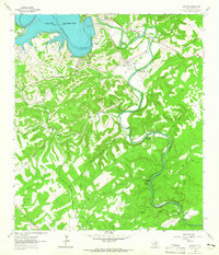
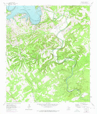
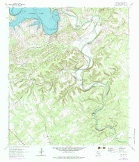
Editions of this 1963 Sattler Map
4 editions found
Other maps of this area

1920 · Smithsons Valley
USGS Topo · 1:62,500

1925 · New Braunfels No 1
USGS Topo · 1:48,000

1925 · Hunter No 3
USGS Topo · 1:48,000

1925 · Smithson Valley No. 1
USGS Topo · 1:48,000

1927 · New Braunfels
USGS Topo · 1:62,500

1927 · Smithson Valley
USGS Topo · 1:62,500

1929 · Hunter
USGS Topo · 1:62,500

1929 · Smithson Valley
USGS Topo · 1:62,500

1940 · Smithson Valley
USGS Topo · 1:62,500

1953 · Bat Cave
USGS Topo · 1:24,000
Featured Places
- Canyon Lake, TX
- Elm Creek Ranch Estates, TX
- Pleasant Valley Ranches, TX
- Pleasant Valley Estates, TX
- Circle S Estates, TX