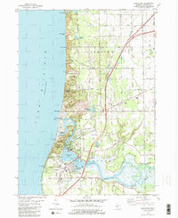
1981 Map of Saugatuck
USGS Topo · Published 1982About this map
The harbor towns of Saugatuck and Douglas anchor this 1981 survey of the Lake Michigan shoreline, where the Kalamazoo River meets the dunes. The landscape is defined by the legacy of early industry and modern conservation, featuring the site of Singapore, a notable lumber town largely buried by shifting sands near the river mouth. The geography transitions from the steep lakefront bluffs of Mt Baldhead and Pelican Peak to the sheltered waters of Kalamazoo Lake and Douglas Bayou. Inland, the map documents the Michigan Dunes State Correctional Facility and established community spaces like Gibson Cem. The presence of an Old RR Grade and the Blue Star Memorial Highway reflects the area's evolution from a timber-and-transit hub into a coastal destination, preserving landmarks like the Old Saugatuck Light House.
Find a feature on this map
57 named features on this map. Tap any name to fly to it.
Don’t see what you’re looking for? This feature index may not catch every label — zoom into the map to look around manually.
Map Details
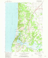
Editions of this 1981 Saugatuck Map
2 editions found
Other maps of this area

1928 · Fennville
USGS Topo · 1:62,500

1929 · Holland
USGS Topo · 1:62,500

1931 · Fennville
USGS Topo · 1:62,500

1932 · Holland
USGS Topo · 1:62,500

1958 · Racine
USGS Topo · 1:250,000

1962 · Racine
USGS Topo · 1:250,000
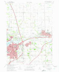
1972 · Holland East
USGS Topo · 1:24,000
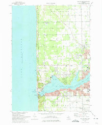
1972 · Holland West
USGS Topo · 1:24,000
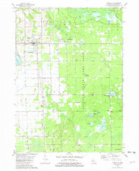
1981 · Fennville
USGS Topo · 1:24,000
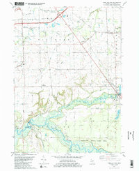
1981 · Hamilton West
USGS Topo · 1:24,000