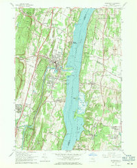
1963 Map of Saugerties
USGS Topo · Published 1971About this map
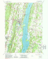
Esopus Creek winds through the heart of Saugerties before joining the Hudson River, marking a landscape defined by its deep-water access and manufacturing history. Along the river's western bank, the settlements of Malden-on-Hudson and Glasco are joined by the New York Central railroad, while the eastern shore is dominated by the sprawling grounds of Clermont State Park and the Birthplace of Robert Livingston. The interior reveals a religious and educational landscape, from the Dominican Sisters Convent and Assumptionist Fathers Monastery to Bard College in Annandale-on-Hudson. Genealogists will find significant detail in the numerous burial grounds, such as Mount Marion Cem and St Marys Cem, alongside the residential growth of Linden Acres and College Park. The presence of a large Quarry near Glenerie and a Gravel Pit by Veteran highlights the local extractive industries that flourished along the valley's transit corridors.
Find a feature on this map
78 named features on this map. Tap any name to fly to it.
Don’t see what you’re looking for? This feature index may not catch every label — zoom into the map to look around manually.
Map Details
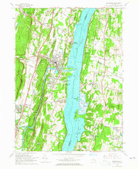
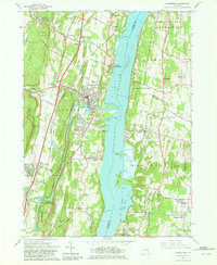
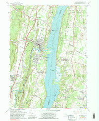
Editions of this 1963 Saugerties Map
5 editions found
Other maps of this area

1892 · Kaaterskill
USGS Topo · 1:62,500

1893 · Kaaterskill
USGS Topo · 1:62,500

1894 · Kaaterskill
USGS Topo · 1:62,500

1895 · Catskill
USGS Topo · 1:62,500

1898 · Rhinebeck
USGS Topo · 1:62,500

1899 · Kaaterskill
USGS Topo · 1:62,500

1901 · Rosendale
USGS Topo · 1:62,500

1903 · Rosendale
USGS Topo · 1:62,500

1903 · Kaaterskill
USGS Topo · 1:62,500

1934 · Rhinebeck
USGS Topo · 1:48,000