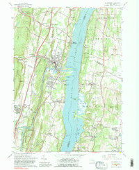
1963 Map of Saugerties
USGS Topo · Published 1989About this map
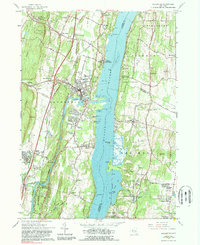
The Hudson River serves as the central artery for this mid-century portrait of the Hudson Valley, dividing the steep terrain of Ulster County from the estates and orchards of Columbia and Dutchess Counties. In the village of Saugerties, the confluence of Esopus Creek and the river anchors a landscape shaped by both industry and faith. Evidence of the region's industrial past is visible in the Quarry and Stone Crushers near Mt Marion, while the religious character of the community is marked by the Assumptionist Fathers Monastery and the Dominican Sisters Convent overlooking the water.
Find a feature on this map
86 named features on this map. Tap any name to fly to it.
Don’t see what you’re looking for? This feature index may not catch every label — zoom into the map to look around manually.
Map Details
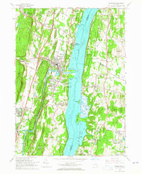
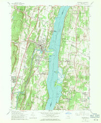
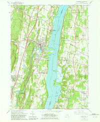
Editions of this 1963 Saugerties Map
5 editions found
Other maps of this area

1892 · Kaaterskill
USGS Topo · 1:62,500

1893 · Kaaterskill
USGS Topo · 1:62,500

1894 · Kaaterskill
USGS Topo · 1:62,500

1895 · Catskill
USGS Topo · 1:62,500

1898 · Rhinebeck
USGS Topo · 1:62,500

1899 · Kaaterskill
USGS Topo · 1:62,500

1901 · Rosendale
USGS Topo · 1:62,500

1903 · Rosendale
USGS Topo · 1:62,500

1903 · Kaaterskill
USGS Topo · 1:62,500

1934 · Rhinebeck
USGS Topo · 1:48,000