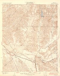
1933 Map of Saugus
USGS Topo · Published 1933About this map
Saugus serves as the focal point for this early 1930s landscape, where the Southern Pacific railroad and the Sierra Highway converge in the Santa Clarita Valley. The map captures a pivotal moment in the region's infrastructure, showing the extensive transmission line networks and the Dept of Commerce Landing Field equipped with an Airway Beacon, reflecting the growth of early civil aviation and power distribution.
Find a feature on this map
22 named features on this map. Tap any name to fly to it.
Don’t see what you’re looking for? This feature index may not catch every label — zoom into the map to look around manually.
Map Details
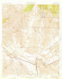
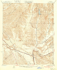
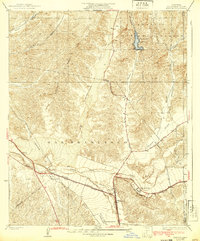
Editions of this 1933 Saugus Map
4 editions found
Other maps of this area

1900 · Fernando
USGS Topo · 1:62,500

1901 · Southern California Sheet No. 1
USGS Topo · 1:250,000

1903 · Tejon
USGS Topo · 1:125,000

1903 · Camulos
USGS Topo · 1:125,000

1903 · Santa Susana
USGS Topo · 1:62,500

1904 · Southern California Sheet No. 1
USGS Topo · 1:250,000

1915 · Elizabeth Lake
USGS Topo · 1:125,000

1917 · Elizabeth Lake
USGS Topo · 1:125,000

1925 · Sylmar
USGS Topo · 1:24,000

1928 · Sylmar
USGS Topo · 1:24,000
Featured Places
- Santa Clarita, CA
- Pardee, Santa Clarita
- Rancho Santa Clarita, Santa Clarita
- Bouquet Junction, Santa Clarita
- Los Angeles County, CA