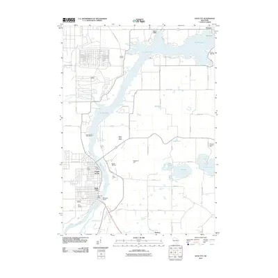
2010 Map of Sauk City
USGS Topo · Published 2010About this map
The Wisconsin River serves as the central artery of this landscape, widening into the broad Lake Wisconsin to the north. Along its banks, the twin settlements of Prairie du Sac and Sauk City are established as the primary hubs of activity, linked by the significant infrastructure of the Prairie Du Sac 1907c189 Dam. The presence of the Merrimac Ferry in the northeast corner highlights the persistence of traditional river crossings even into the 21st century.
Find a feature on this map
63 named features on this map. Tap any name to fly to it.
Don’t see what you’re looking for? This feature index may not catch every label — zoom into the map to look around manually.
Map Details
Editions of this 2010 Sauk City Map
This is the sole edition of this map. No revisions or reprints were ever made.
Other maps of this area

1895 · Baraboo
USGS Topo · 1:62,500

1901 · Denzer
USGS Topo · 1:62,500

1907 · Cross Plains
USGS Topo · 1:62,500

1908 · Baraboo
USGS Topo · 1:62,500

1909 · Cross Plains
USGS Topo · 1:62,500

1920 · Blue Mounds
USGS Topo · 1:62,500

1922 · Blue Mounds
USGS Topo · 1:62,500

1957 · Madison
USGS Topo · 1:250,000

1958 · North Freedom
USGS Topo · 1:62,500

1959 · Baraboo
USGS Topo · 1:62,500