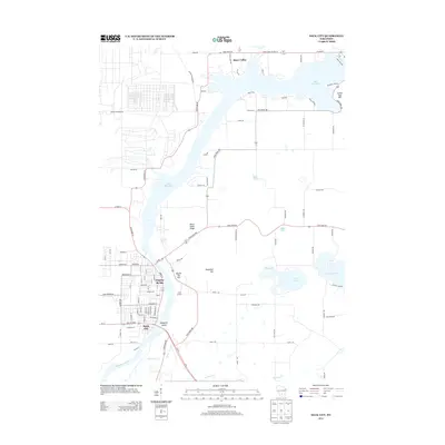
2013 Map of Sauk City
USGS Topo · Published 2013About this map
Prairie du Sac and Sauk City anchor the western bank of the Wisconsin River in this 2013 topographic study. The landscape is defined by the massive expanse of Lake Wisconsin to the north, which transitions into the river channel as it flows past Mosquito Island. East of the water, the terrain rises into distinct landforms such as Black Hawk Ridge, Sugarloaf Hill, and Round Top Hill, while several smaller bodies of water including Fish Lake, Mud Lake, and Crystal Lake dot the eastern plains. A Ferry Crossing remains noted in the northeast corner near Moon Valley, reflecting long-standing transit patterns across the lake. The grid-patterned streets of the river towns contrast with the winding rural routes like State Road 188 and State Road 78 that connect isolated features like Camp Carlson to the broader regional network.
Find a feature on this map
101 named features on this map. Tap any name to fly to it.
Don’t see what you’re looking for? This feature index may not catch every label — zoom into the map to look around manually.
Map Details
Editions of this 2013 Sauk City Map
This is the sole edition of this map. No revisions or reprints were ever made.
Other maps of this area

1895 · Baraboo
USGS Topo · 1:62,500

1901 · Denzer
USGS Topo · 1:62,500

1907 · Cross Plains
USGS Topo · 1:62,500

1908 · Baraboo
USGS Topo · 1:62,500

1909 · Cross Plains
USGS Topo · 1:62,500

1920 · Blue Mounds
USGS Topo · 1:62,500

1922 · Blue Mounds
USGS Topo · 1:62,500

1957 · Madison
USGS Topo · 1:250,000

1958 · North Freedom
USGS Topo · 1:62,500

1959 · Baraboo
USGS Topo · 1:62,500