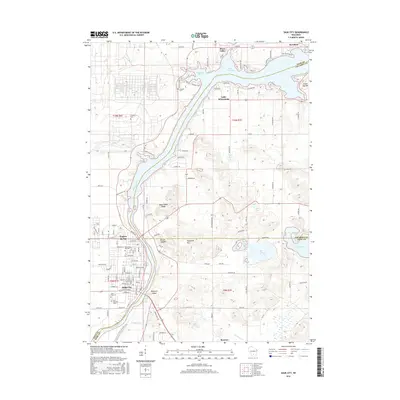
2016 Map of Sauk City
USGS Topo · Published 2016About this map
Prairie du Sac and Sauk City sit along the western banks of the Wisconsin River in this 2016 study, showcasing the dense street grids and community infrastructure of these riverfront settlements. The landscape transitions from the developed river corridor to the elevations of Black Hawk Ridge and Round Top Hill further east, while the northern reaches are dominated by the broad waters of Lake Wisconsin and Wiegands Bay. This modern data capture reflects the region’s continued reliance on the river and its impoundments for recreation and geography.
Find a feature on this map
125 named features on this map. Tap any name to fly to it.
Don’t see what you’re looking for? This feature index may not catch every label — zoom into the map to look around manually.
Map Details
Editions of this 2016 Sauk City Map
This is the sole edition of this map. No revisions or reprints were ever made.
Other maps of this area

1895 · Baraboo
USGS Topo · 1:62,500

1901 · Denzer
USGS Topo · 1:62,500

1907 · Cross Plains
USGS Topo · 1:62,500

1908 · Baraboo
USGS Topo · 1:62,500

1909 · Cross Plains
USGS Topo · 1:62,500

1920 · Blue Mounds
USGS Topo · 1:62,500

1922 · Blue Mounds
USGS Topo · 1:62,500

1957 · Madison
USGS Topo · 1:250,000

1958 · North Freedom
USGS Topo · 1:62,500

1959 · Baraboo
USGS Topo · 1:62,500