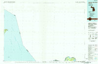
1985 Map of Sault Ste. Marie North
USGS Topo · Published 1985About this map
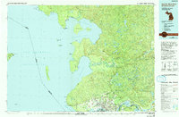
St Marys River serves as the critical maritime artery in this mid-1980s survey, marking the international border between Michigan and Ontario. The Soo Locks stand as the focal point of commerce and navigation, enabling transit between the lower Great Lakes and the expansive waters of Lake Superior. The map details the transition from the industrial activity at Sault Ste Marie to the rural character of Sugar Island, where small settlements like Payment and Churchville Pt overlook Lake George.
Find a feature on this map
19 named features on this map. Tap any name to fly to it.
Don’t see what you’re looking for? This feature index may not catch every label — zoom into the map to look around manually.
Map Details
Editions of this 1985 Sault Ste. Marie North Map
2 editions found
Other maps of this area

1913 · Sault Sainte Marie
USGS Topo · 1:62,500

1919 · Neebish
USGS Topo · 1:62,500

1941 · Neebish
USGS Topo · 1:63,360

1941 · Sault Sainte Marie
USGS Topo · 1:63,360

1941 · Strongs
USGS Topo · 1:63,360

1941 · Brimley
USGS Topo · 1:63,360

1951 · Vermilion SE
USGS Topo · 1:24,000

1951 · Shallows
USGS Topo · 1:24,000

1951 · Shelldrake
USGS Topo · 1:24,000

1951 · McNearney Lake
USGS Topo · 1:24,000