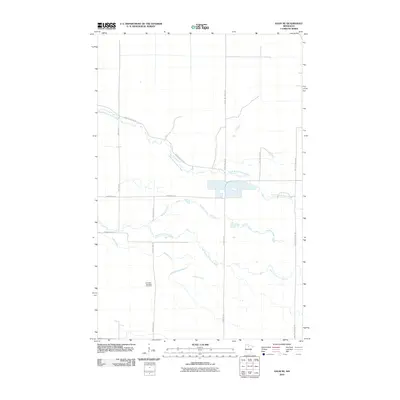
2010 Map of Saum NE
USGS Topo · Published 2010About this map
Cormant Township Cemetery sits as a central historical marker in this portion of Beltrami County, located just west of County Hwy 37. The landscape is defined by its complex drainage network, where the South Branch Battle River meanders across the northern half of the quadrangle and the North Cormorant River cuts through the southern reaches. These waterways, along with Meadow Creek and Haden Creek, suggest a terrain of low-lying wetlands and riparian corridors.
Find a feature on this map
16 named features on this map. Tap any name to fly to it.
Don’t see what you’re looking for? This feature index may not catch every label — zoom into the map to look around manually.
Map Details
Editions of this 2010 Saum NE Map
This is the sole edition of this map. No revisions or reprints were ever made.
Other maps of this area

1919 · Fox
USGS Topo · 1:62,500

1919 · Quiring
USGS Topo · 1:62,500

1919 · Norden
USGS Topo · 1:62,500

1919 · Bridgie
USGS Topo · 1:62,500

1924 · Bridgie
USGS Topo · 1:62,500

1954 · Bemidji
USGS Topo · 1:250,000

1954 · Roseau
USGS Topo · 1:250,000

1957 · Roseau
USGS Topo · 1:250,000

1957 · Bemidji
USGS Topo · 1:250,000

1958 · Bemidji
USGS Topo · 1:250,000