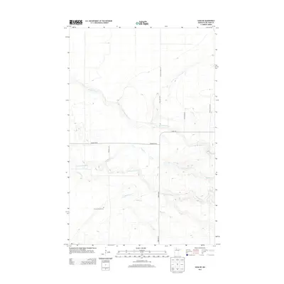
2013 Map of Saum NE
USGS Topo · Published 2013About this map
The S Br Battle River and N Cormorant River wind through this northern Minnesota landscape, defining a region where water and forest management take precedence over dense settlement. The drainage network is dense, featuring the meandering paths of Meadow Cr and Haden Creek as they traverse the low-relief terrain. Human impact is centered around a rectilinear grid of timber and county roads, such as Cormant Rd NE and Range Line Forest Rd, which facilitate movement through the dense Beltrami County woodlands.
Find a feature on this map
15 named features on this map. Tap any name to fly to it.
Don’t see what you’re looking for? This feature index may not catch every label — zoom into the map to look around manually.
Map Details
Editions of this 2013 Saum NE Map
This is the sole edition of this map. No revisions or reprints were ever made.
Other maps of this area

1919 · Fox
USGS Topo · 1:62,500

1919 · Quiring
USGS Topo · 1:62,500

1919 · Norden
USGS Topo · 1:62,500

1919 · Bridgie
USGS Topo · 1:62,500

1924 · Bridgie
USGS Topo · 1:62,500

1954 · Bemidji
USGS Topo · 1:250,000

1954 · Roseau
USGS Topo · 1:250,000

1957 · Roseau
USGS Topo · 1:250,000

1957 · Bemidji
USGS Topo · 1:250,000

1958 · Bemidji
USGS Topo · 1:250,000