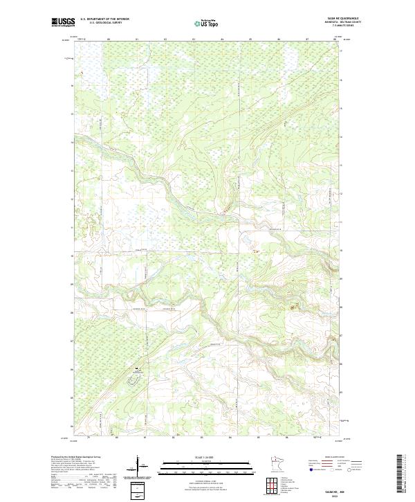
2022 Map of Saum NE
USGS Topo · Published 2022About this map
The S Br Battle River and its various tributaries define the low-lying wetland drainage of northern Minnesota in this modern survey of Beltrami County. This landscape is marked by a grid of rural roads and drainage infrastructure, such as Deep Ditch Rd, which speak to the area's agricultural and land-management history. For local historians and genealogists, the Cormant Township Cem remains a primary anchor of the community's heritage, situated near the intersection of Cormant Rd NE and Corlan Rd NE. The map tracks several winding watercourses through the township sections, including Meadow Cr, Haden Creek, and the N Cormorant River, illustrating the intricate hydrologic network of this northern prairie-forest border region.
Find a feature on this map
27 named features on this map. Tap any name to fly to it.
Don’t see what you’re looking for? This feature index may not catch every label — zoom into the map to look around manually.
Map Details
Editions of this 2022 Saum NE Map
This is the sole edition of this map. No revisions or reprints were ever made.
Other maps of this area

1919 · Fox
USGS Topo · 1:62,500

1919 · Quiring
USGS Topo · 1:62,500

1919 · Norden
USGS Topo · 1:62,500

1919 · Bridgie
USGS Topo · 1:62,500

1924 · Bridgie
USGS Topo · 1:62,500

1954 · Bemidji
USGS Topo · 1:250,000

1954 · Roseau
USGS Topo · 1:250,000

1957 · Roseau
USGS Topo · 1:250,000

1957 · Bemidji
USGS Topo · 1:250,000

1958 · Bemidji
USGS Topo · 1:250,000