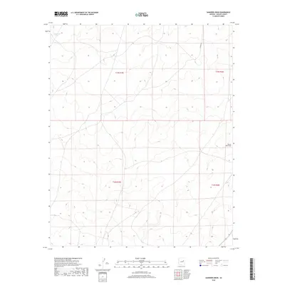
2018 Map of Saunders Draw
USGS Topo · Published 2018About this map
Porter Tank Draw and other seasonal drainage features define this high-desert landscape in northeastern Arizona. This 2018 survey reveals a sparse, transitionary terrain marked primarily by land management divisions and cattle-country infrastructure. The area is gridded by the Public Land Survey System, including t17n r19e, t17n r20e, t16n r19e, and t16n r20e, reflecting the orderly distribution of territory in Navajo County. Local ranching history is evidenced by the presence of LX Ranch Rd and stock-water locations like Rattlesnake Tank. These labels suggest a landscape shaped by the practical needs of large-scale ranching operations and water management in an arid environment, providing a precise geographic baseline for the modern era.
Find a feature on this map
7 named features on this map. Tap any name to fly to it.
Don’t see what you’re looking for? This feature index may not catch every label — zoom into the map to look around manually.
Map Details
Editions of this 2018 Saunders Draw Map
This is the sole edition of this map. No revisions or reprints were ever made.
Other maps of this area

1886 · Holbrook
USGS Topo · 1:250,000

1893 · Holbrook
USGS Topo · 1:250,000

1954 · Holbrook
USGS Topo · 1:250,000

1955 · St. Joseph 2 SE
USGS Topo · 1:24,000
1955 · St. Joseph 2 NW
USGS Topo · 1:24,000

1955 · St. Joseph 1 NW
USGS Topo · 1:24,000
1955 · St. Joseph 2 NE
USGS Topo · 1:24,000

1955 · Joseph City
USGS Topo · 1:62,500
1955 · Holbrook
USGS Topo · 1:62,500

1957 · Holbrook
USGS Topo · 1:250,000